Highway Strip
United Kingdom /
England /
Warton /
World
/ United Kingdom
/ England
/ Warton
highway strip / road runway
Add category
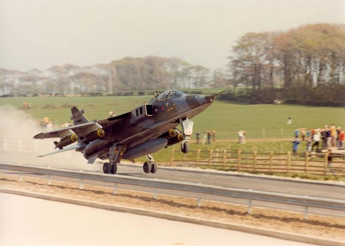
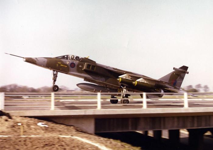
Highway Strip Weeton
Wikipedia article: http://en.wikipedia.org/wiki/Highway_strip
Nearby cities:
Coordinates: 53°48'9"N 2°55'38"W
- Former highway airstrip 1156 km
- Merin Highway Strip 1387 km
- Vidsel Highway Airstrip 1854 km
- Landing Strip Tervo 1986 km
- Rotimojoki Highway Strip (Z11D) 2018 km
- Landing Strip Vuojärvi 2153 km
- Route, highway Maragheh - Hashtrood (under construction) 4136 km
- Unmaintained Seneca Portion of I-90 5505 km
- Padma Bridge 8133 km
- Alternate runway & taxiway 8727 km
- Weeton Barracks Camp 2.1 km
- Staining Lodge Golf Course 3.3 km
- Ribby Hall Holiday Village 3.5 km
- Secret Nuclear Bomb Zone 3.5 km
- HMP Kirkham 4.5 km
- Lytham Green Drive Golf Course 6.3 km
- DCSA Inskip 6.7 km
- Fairhaven Golf Club 6.9 km
- BAE Systems Warton 7.2 km
- BNFL Springfields 8.5 km