Kvabebi
Georgia /
Kakheti /
Signagi /
World
/ Georgia
/ Kakheti
/ Signagi
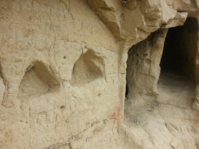
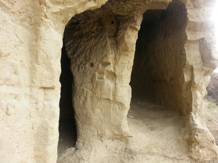
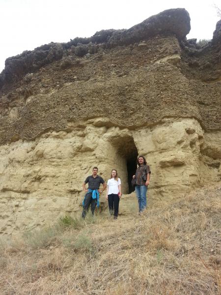
cave / caves, Orthodox church
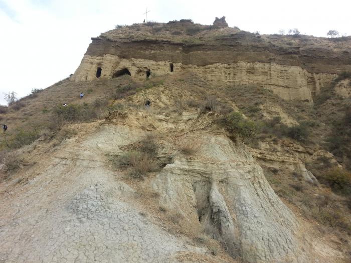
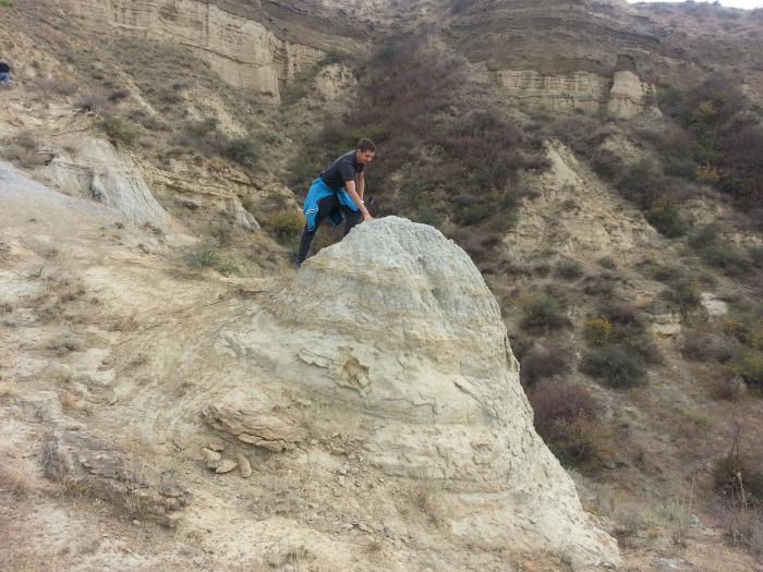
The outcrop is located on the left bank of the Iori River at the foot of Kvabebi mount.
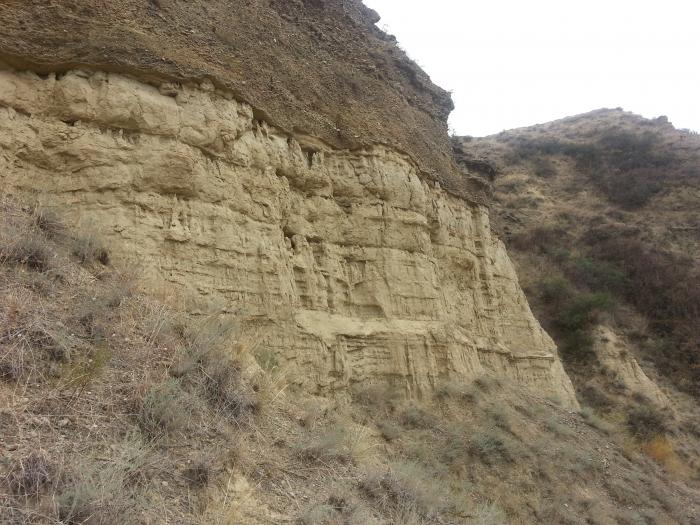
The sediment sequence is represented by:
1. Sandy-coquina sediments with rich mollusk fauna with a thickness of about 15 m.
2. Bluish-grey carbonate marl shales and silts with a thickness of 190 m, sometimes
containing gypsum veins and thin siderite lenses/layers. In the upper part of the pack, two thin
layers of volcanic ash are defined. The sediments contain mollusk and ostracod fauna. Here,
in the upper part of the pack, the remains of mammals and birds have been found.
3. In the upper part of the outcrop, the appearance of sandstones increases up to 80 m, and
gravelites and fine-pebbled conglomerates with mollusk shells are present.
4. The Akchagylian sediments cross-section is finished by poorly sorted thick conglomerates
with sandstone interlayers and lenses. This pack doesn't contain any fauna and is
conventionally dated as Akchagylian (Vekua, 1972).
Nearby cities:
Coordinates: 41°24'45"N 45°53'33"E
- Kolagiri 20 km
- sabereebi 29 km
- David Gareja - Georgian monastic complex 44 km
- Dodorka 45 km
- Baptist 51 km
- Easter martyred 52 km
- Mount Bertha monastery 53 km
- mravaltskaro 55 km
- David Gareja monastery complex 57 km
- Kapova Cave 1542 km
- Signaghi District 11 km
- Naomari veli 13 km
- Dali reservoir 13 km
- Taribani Steppe 17 km
- m. Uchbulaq, 817m 20 km
- Chobandagh ridge 20 km
- m. Chobandagh, 890m 21 km
- Dedoplistskaro District 31 km
- Aghstafa district 45 km
- Tovuz district 53 km