Zeelandbrug
Netherlands /
Zeeland /
Schouwen-Duiveland /
Weg naar de Val (N 256)
World
/ Netherlands
/ Zeeland
/ Schouwen-Duiveland
monument, place with historical importance, bridge
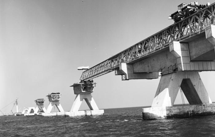
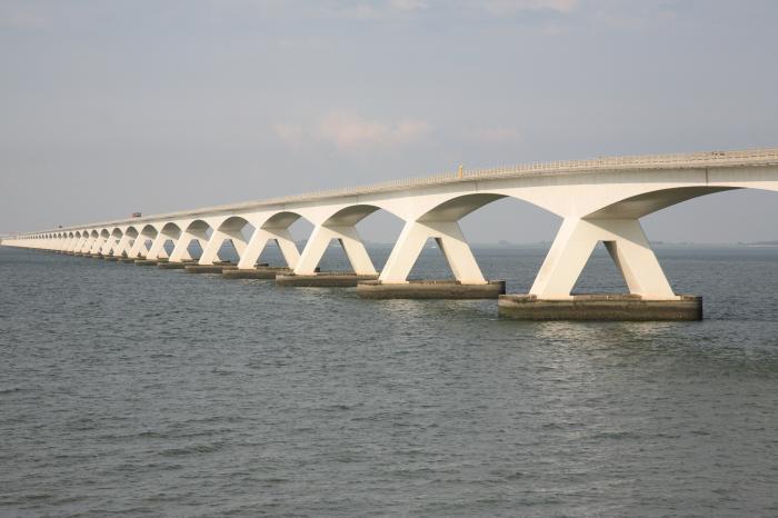
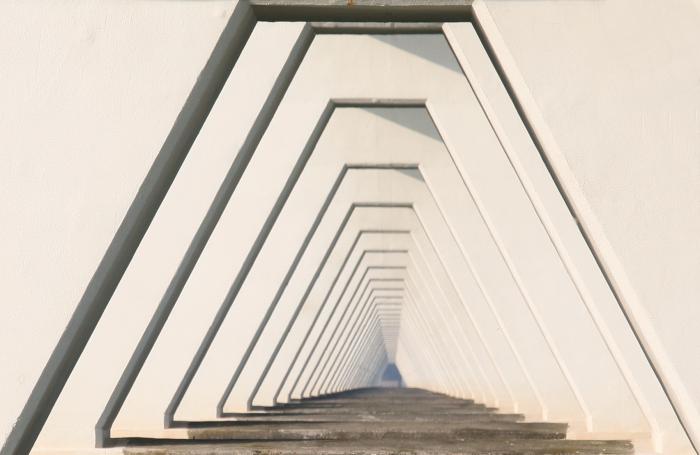
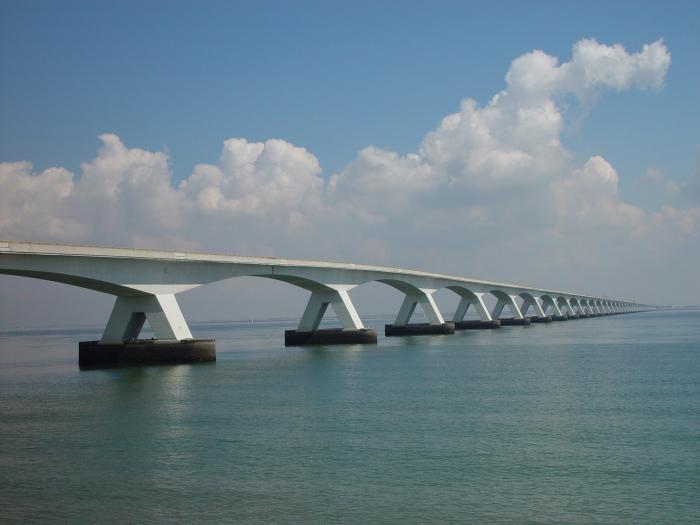
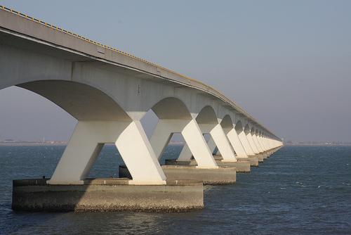
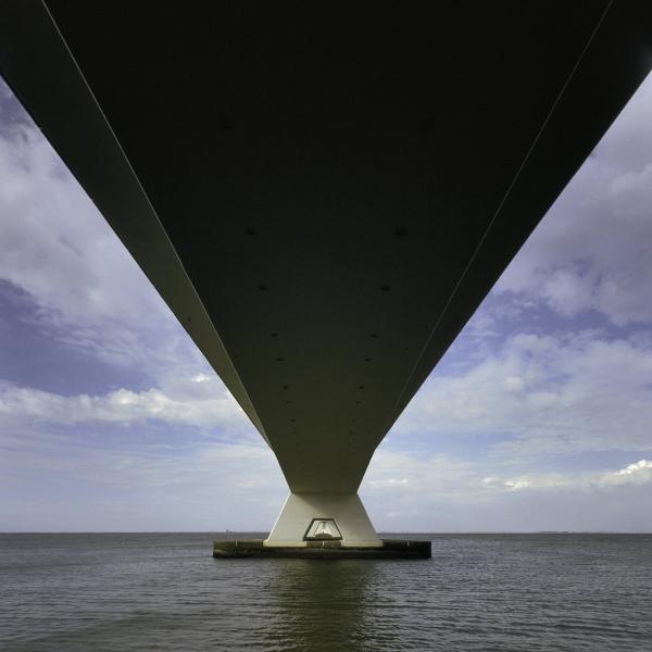
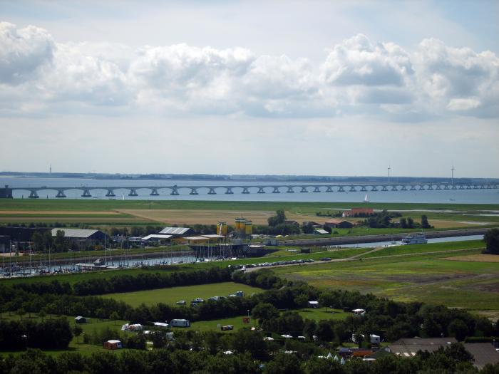
The Zeeland Bridge (Dutch: Zeelandbrug) is the longest bridge in the Netherlands.
Wikipedia article: https://en.wikipedia.org/wiki/Zeeland_Bridge
Nearby cities:
Coordinates: 51°36'44"N 3°53'29"E
- Zeeland Bridge 2.4 km
- Zandkreekdam met Zandkreeksluis 7.7 km
- Sluis Goesche Sas 8.6 km
- Road Bridge 18 km
- Schroebrug 23 km
- Stationsbrug 23 km
- N61 autoroute bridge 36 km
- N683 autoroute bridge 43 km
- Road bridge 46 km
- R4 autoroute bridge 46 km
- Shoal 5.9 km
- Schouwen-Duiveland 7.5 km
- Schouwen-Duiveland (municipality) 8.4 km
- Noord-Beveland (municipality) 8.5 km
- Goes (municipality) 11 km
- Kapelle (municipality) 14 km
- Tholen (muncipality) 14 km
- Zeeland 15 km
- Tholen (island) 16 km
- Reimerswaal 24 km