Subdistrict Ulujadi (Palu City)
Indonesia /
Sulawesi Tengah /
Palu /
Palu City
World
/ Indonesia
/ Sulawesi Tengah
/ Palu
district
Add category
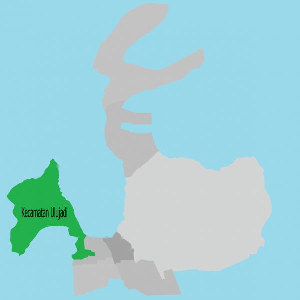
Ulujadi sub-district is a district in the city of Palu, Central Sulawesi, Indonesia.
Ulujadi sub-district is a district of the division in the city of Palu in accordance with Regional Regulation No. 4 of 2012 on the division of districts.
Subdistrict Ulujadi have 6 (six) villages:
Village of Buluri
Village of Donggala Kodi
Village of Kabonena
Village of Silae
Village of Tipo
Village of Watusampu
Wikipedia article: https://en.wikipedia.org/wiki/Ulujadi,_Palu
Nearby cities:
Coordinates: -0°51'11"N 119°48'3"E
- Kecamatan Rampi 116 km
- Kecamatan Seko 125 km
- Kabupaten Luwu 244 km
- Dili District 1025 km
- Bobonaro District 1046 km
- Cova Lima District 1074 km
- Manatuto District 1075 km
- Manufahi District 1087 km
- Viqueque District 1105 km
- Lautém District 1129 km
- Village of Buluri 1.7 km
- Village of Watusampu 3.5 km
- Kelurahan Talise 9 km
- Kelurahan Mamboro 13 km
- Kecamatan Palu Utara 13 km
- Subdistrict Banawa 14 km
- Palu bay 15 km
- Kelurahan Tondo 15 km
- Kelurahan Layana Indah 15 km
- Kecamatan Mantikulore 17 km