Rakh Baba Hunda Lal (Government Agricultural Lands)
| farm land / agricultural area
Pakistan /
Punjab /
Mankera /
World
/ Pakistan
/ Punjab
/ Mankera
farm land / agricultural area
Add category
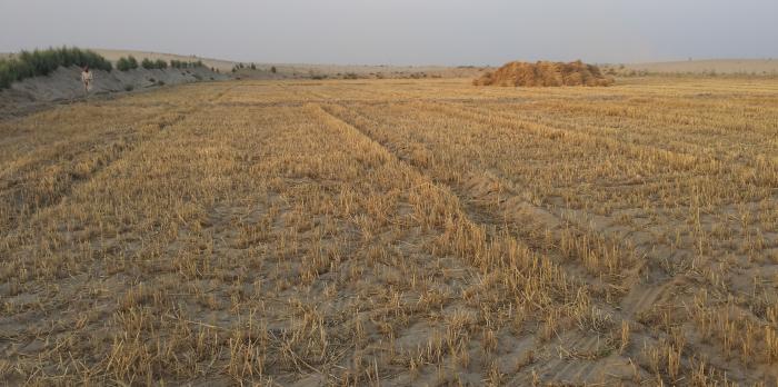
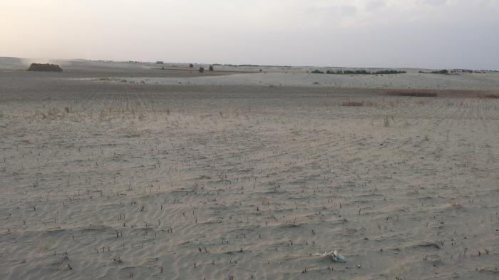
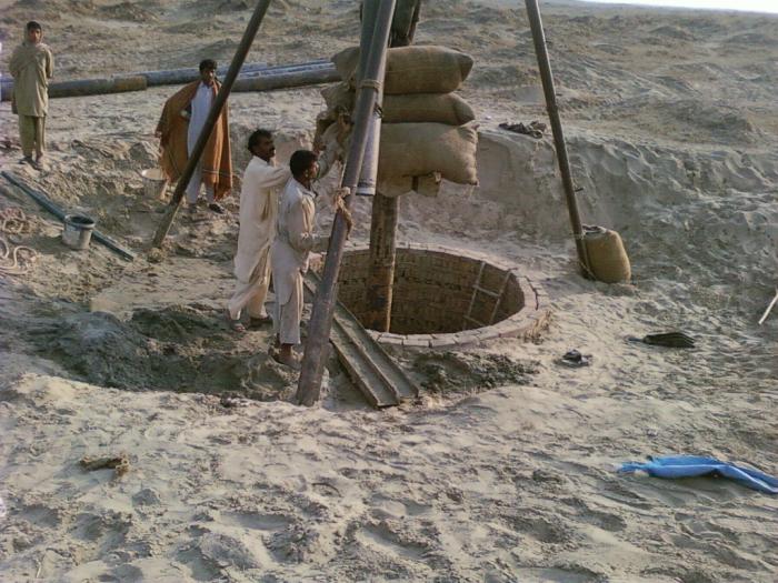
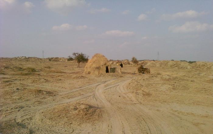
Rakhs (Rangelands) are areas devoted to livestock production from natural or semi-natural vegetation. This vegetation includes shrub lands, grasslands and forests. Rakh Baba Hunda Lal served the purpose for decades, commencing from British era until 2010. This Rakh is now being developed into agricultural land under government's initiative to utilize the agriculture potential of Thal Desert.
Nearby cities:
Coordinates: 31°18'50"N 71°28'15"E
- Rajpoot Bans(Bamboo) Model Farm 18 km
- South Block (SB) 1459 kinals 75 km
- South East Block (SEB) = 1750 kinals 75 km
- South Central Block (SCB) = 2750 kinals 76 km
- North Block (NB) = 1380 kinals 77 km
- Mango Farm 157 km
- Chak No.27/M (Lodhrian wala Chak) 178 km
- saamo thore area 215 km
- Raja Anwar Paracha Rakba 362 km
- Ishwarram, Mohanram, Sitaram Choudhary (Brothers Farm) 440 km
- Model Agriculture Farms 6.1 km
- Patti Bulinda. 7.4 km
- Mankera City 8.5 km
- Rakh 12 km
- roraan 13 km
- altaf assar & brothers form 14 km
- Ramdial wala 14 km
- khan walla 15 km
- Nawan kot 24 km
- Assar Wala 26 km