Istaravshan
Tajikistan /
Sughd /
Uroteppa /
World
/ Tajikistan
/ Sughd
/ Uroteppa
, 1 km from center (Ура-Тюбе)
World / Tajikistan / Leninabad / Istaravshan
city, district center

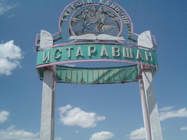


Until 2000 it was officially known as Ura-Tube or Ura-Tyube
Wikipedia article: http://en.wikipedia.org/wiki/Istarawshan
Nearby cities:
Coordinates: 39°54'6"N 69°0'0"E
- Кузнецы 0.1 km
- Stadion Istaravshan 0.8 km
- Ginaziya №1 0.9 km
- Октябрьская ул., 73 1.2 km
- School № 20 1.2 km
- Ancient ruins 5.1 km
- Ak-Suu 32 km
- диноу 39 km
- Gagarin Secondary School 45 km
- Isfana Airport 49 km