La Bou Road
Dominica /
Saint Mark /
Soufriere /
World
/ Dominica
/ Saint Mark
/ Soufriere
road
Add category
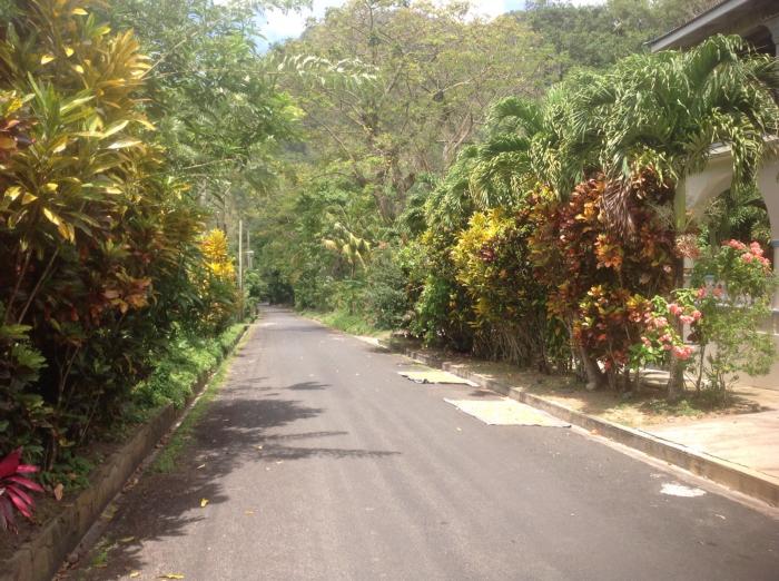
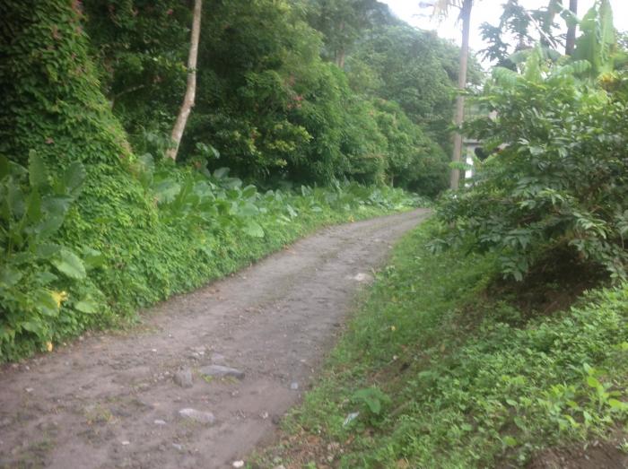
This is the road leading to La Bou Cottage.
Nearby cities:
Coordinates: 15°13'56"N 61°20'58"W
- Parliamentary Drive 378 km
- Garden Road 512 km
- Kaydonna Drive-in 512 km
- Gajadhar Road 520 km
- Church Street 553 km
- Avenida Palmeras 701 km
- La Carretera de la Muerte 716 km
- Calle 2 Vista Alegre 805 km
- Calle 3 Vista Alegre 805 km
- Siapa Street 871 km
- Morne Patates 1.6 km
- Soufrière Bay 2.1 km
- Morne Carnot 3.5 km
- Grand Bay 5.1 km
- Morne Trois Pitons National Park 10 km
- Dominica 21 km
- Martinique Passage 22 km
- Mount Pelée 51 km
- Quarry 54 km
- Martinique 75 km