Colonnade Street (Tyre)
Lebanon /
al-Janub /
Sur /
Tyre
World
/ Lebanon
/ al-Janub
/ Sur
, 2 km from center (صور)
road, ancient
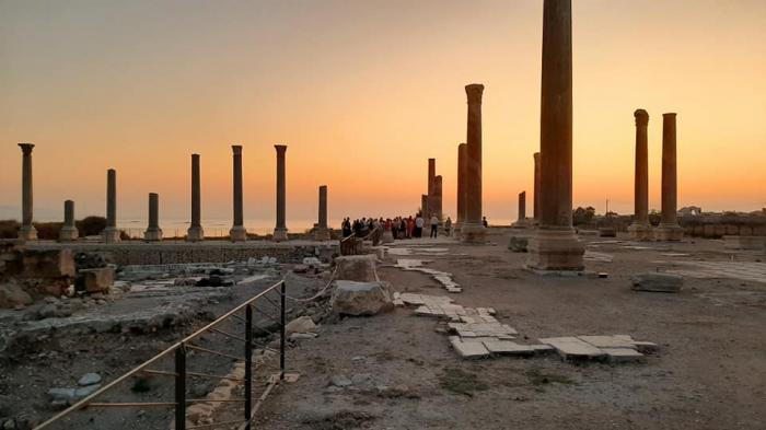
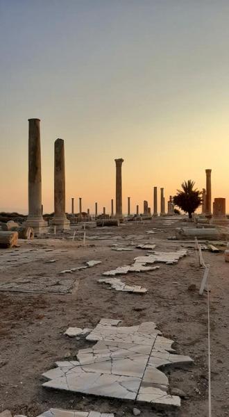
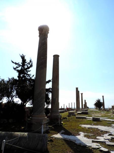
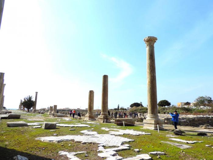
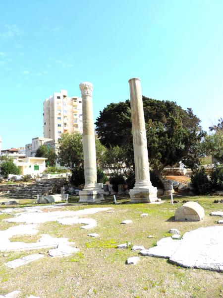
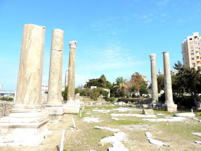
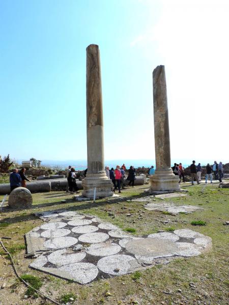
dating back to the Phoenician period this street once connected the quarters of the city on the mainland with th island and its harbours. Some of the columns were reerected in the 1970ies.
Nearby cities:
Coordinates: 33°16'8"N 35°11'46"E
- Petroleum Road 49 km
- mara'ba road 104 km
- Completed section of road 187 km
- Road being widened 189 km
- Unfinished section of road 189 km
- Mostly-completed section of road 189 km
- Unfinished section of road 194 km
- Road to Aleppo Int. Airport 375 km
- Diyarbakır Railway 689 km
- Jurf Al Sakhar 820 km
- Tyre Al-Bass archeological site 1.2 km
- Burj el Shemali Palestinian Refugee Camp 3.7 km
- Burj el Shemali 3.9 km
- Tyre Coast Nature Reserve (Shawakeer) 3.9 km
- Al Marj Farm (Basma) - بستان المرج بسما 4.7 km
- Sammmaqiye 6.6 km
- Deir Qanoun 6.8 km
- Tyre District 10 km
- Block 10 13 km
- South Lebanon Governorate 18 km