Khryse
Greece /
Pella /
Exaplatanos /
World
/ Greece
/ Pella
/ Exaplatanos
, 4 km from center (Εξαπλάτανος)
castle, ruined castle, place with historical importance, Medieval / Middle Ages
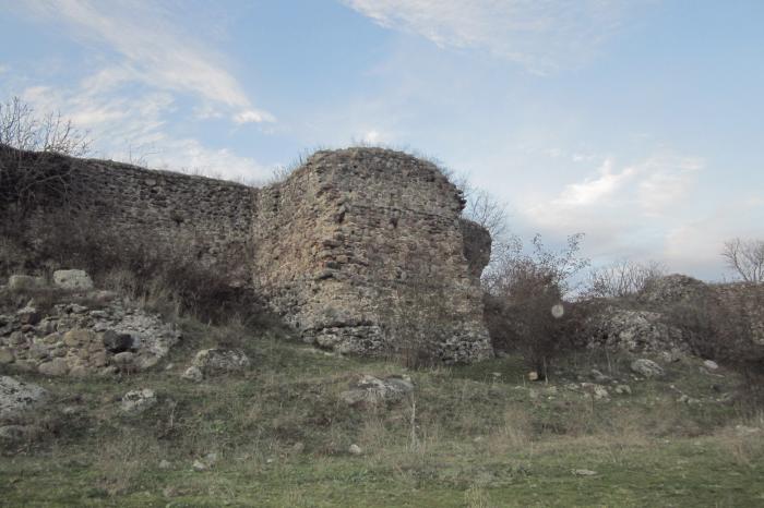
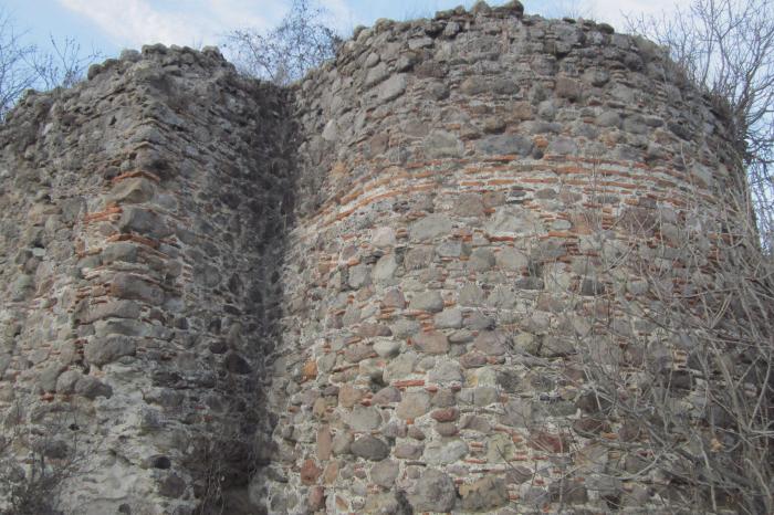
The castle of Khrysē in the Moglena region features remains from the 10th-12th centuries.
Nearby cities:
Coordinates: 40°57'13"N 22°6'19"E
- Battlefield of Giannitsa or Yenice 1912 19 km
- Vergina 54 km
- Ancient Aigai 55 km
- The cemetery of tumuli 55 km
- Agios Germanos 81 km
- Τhe Porta pass 90 km
- Αncient Argos Orestikon - Diocletianopolis 90 km
- Dion archeological site 92 km
- Sarantàporo Battle Field (1912) 97 km
- Azoros Ancient Field (Hill) 107 km
- Χifiani Hill 3.5 km
- Football playground 3.8 km
- Landfill Aridaias 4.2 km
- Dasaki 4.8 km
- Αlmopia (municipality) 7.4 km
- Peripheral unit of Pella 8.1 km
- Aridaia Air Field 10 km
- Skydra Municipality 17 km
- Εdessa Municipality 24 km
- Nidzhe / Voras Mt. 26 km