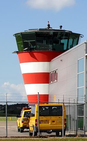
Control tower
Netherlands /
Flevoland /
Zeewolde /
De Zwaluw
World
/ Netherlands
/ Flevoland
/ Zeewolde
interesting place, airport terminal, control tower
Nearby cities:
Coordinates: 52°27'20"N 5°31'27"E
- Knock Lighthouse & Ems Traffic Control 141 km
- Former control tower foundation 343 km
- Houilles; underground naval command facility 459 km
- Bundeswehr Museum of Military History 516 km
- Radar complex of air traffic control Pisek 683 m 664 km
- Tower 878 km
- Fincantieri dry dock 918 km
- Air Traffic Management Center 1049 km
- Area Control Center 1375 km
- Control tower 1519 km
- Lelystad Airport (IATA-Code: LEY, ICAO-Code: EHLE) 0.3 km
- Larserbos en Larservaartbos 3.1 km
- Natuurpark Lelystad 3.3 km
- Harderbos 10 km
- Flevoland 10 km
- Dronten (municipality) 13 km
- Zeewolde (municipality) 13 km
- Lelystad (municipality) 16 km
- Markermeer 22 km
- Gelderland 45 km