Bunbury Port (Greater Bunbury, WA)
| seaport
Australia /
Western Australia /
Bunbury /
Greater Bunbury, WA
World
/ Australia
/ Western Australia
/ Bunbury
seaport
Add category
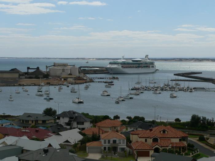
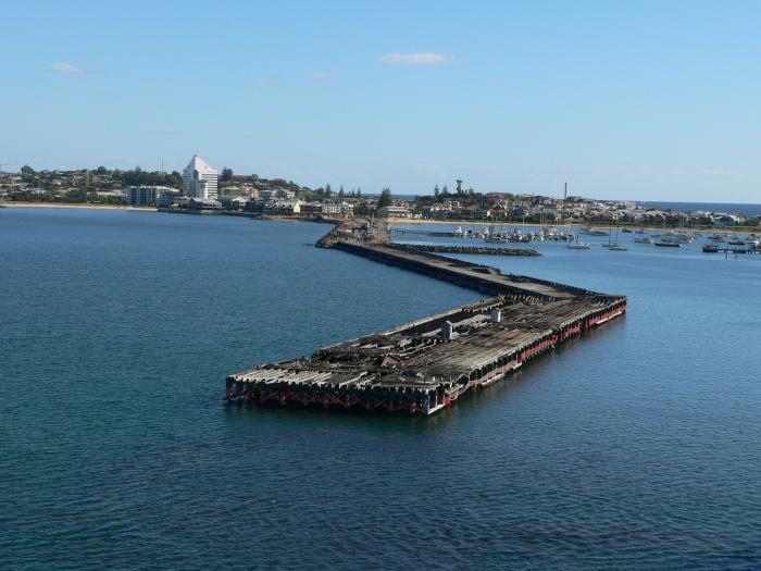
The Bunbury Harbour Board was created by an act of Parliament to control the port from 1st July 1909. The name Bunbury Harbour Board was changed to Bunbury Port Authority in October 1967.
Nearby cities:
Coordinates: 33°19'15"S 115°38'18"E
- Bunbury, WA 2.2 km
- Cape Lambert port A 1427 km
- Cape Lambert port B 1427 km
- Roy Hill Iron Ore Port 1475 km
- FMG Anderson Point Iron Ore Port 1475 km
- Ceduna 1689 km
- Terminal Pelabuhan International Kalimireng 2942 km
- Asam-Asam Port 3271 km
- Kumai 3432 km
- Sungai/Laut Tembilahan (Indragiri Hilir) 3899 km
- Leschenault Estuary 8.6 km
- Dalyellup 10 km
- Leschenault 12 km
- Kemerton 17 km
- Geographe Bay 26 km
- Chapel Mine 31 km
- Wellington National Park 36 km
- Worsley Alumina - Refinery 41 km
- Collie Coal mining area 60 km
- Greenbushes Mine 73 km