Sukhaya Rechka Airfield
Russia /
Primorje /
Primorskiy /
World
/ Russia
/ Primorje
/ Primorskiy
, 7 km from center (Приморский)
World / Russia / Primor'ye
former air force base
Add category
Sukhaya Rechka
Location: 31 km SW Vladivostok, Primorski, RU
Coordinates: 43°02'N 131°32'E Google TerraServer Multimap GeoURL
Elevation: 20 m (66 ft)
Runway:1500 m (4921 ft) (????)
Military units:Abandoned
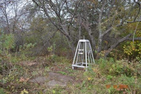
Airfield southwest of Vladivostok had tarmacs and taxiways and may have been a 1940s or 1950s air base. Demolished but geometrics are still visible.
Former military field airfield of the USSR Ministry of Defense. Belonged to the Navy (KTOF aviation). Used as a temporary field airfield. In the summer periods of the 1980s, it was used for training and methodological training of flight personnel on helicopters of the KTOF and KGB USSR aviation.
Location: 31 km SW Vladivostok, Primorski, RU
Coordinates: 43°02'N 131°32'E Google TerraServer Multimap GeoURL
Elevation: 20 m (66 ft)
Runway:1500 m (4921 ft) (????)
Military units:Abandoned
Airfield southwest of Vladivostok had tarmacs and taxiways and may have been a 1940s or 1950s air base. Demolished but geometrics are still visible.
Former military field airfield of the USSR Ministry of Defense. Belonged to the Navy (KTOF aviation). Used as a temporary field airfield. In the summer periods of the 1980s, it was used for training and methodological training of flight personnel on helicopters of the KTOF and KGB USSR aviation.
Nearby cities:
Coordinates: 43°1'48"N 131°32'29"E
- Pristan/Romanovka East ex-Soviet Air Base 68 km
- Zavitinsk Air Base 814 km
- Dolinsk-Sokol Air Base 998 km
- Chindant Air Base 1420 km
- Airport 1432 km
- Bezrechnaya-2 Air Base 1447 km
- field runway 1721 km
- Aerodrome 1870 km
- Bratsk Airport 2582 km
- Clark Freeport Zone 3268 km
- Apron 0.1 km
- Taxiway 0.3 km
- Taxiway 0.6 km
- Fuel depot 0.8 km
- Tsaplichya Lagoon 2.6 km
- Lomonosova Pen. 2.9 km
- Narva Bay 4.3 km
- Kedrovaya Pad Nature Reserve 9 km
- Amur Bay 16 km