Masuleh
Iran /
Gilan /
Fawman /
World
/ Iran
/ Gilan
/ Fawman
, 34 km from center (فومن)
World / Iran / Gilan
hamlet
Add category
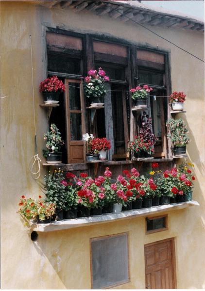
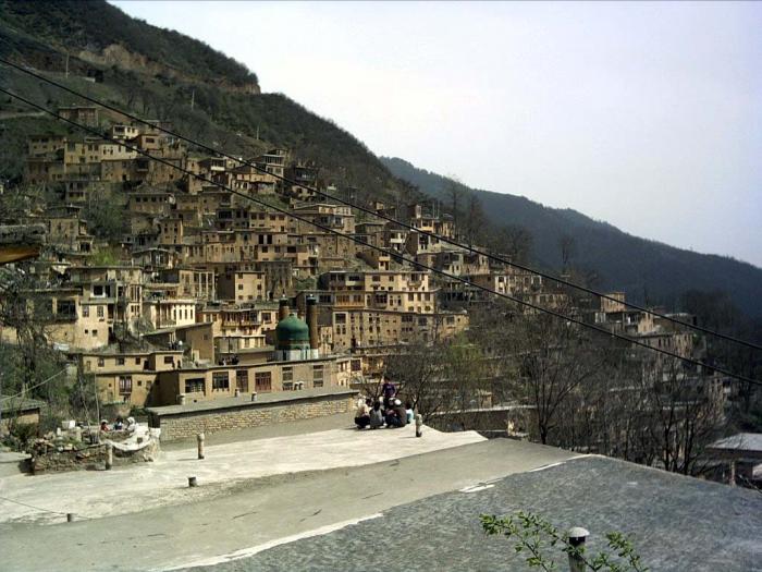
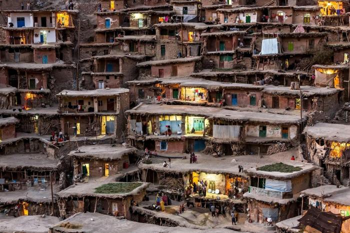
Māsūlé (Persian: ماسوله) is a village in the Gilan Province of Iran. Historical names for the village include Māsalar and Khortāb. It was founded in the 10th century AD, and its current population is estimated to be around 800 persons.
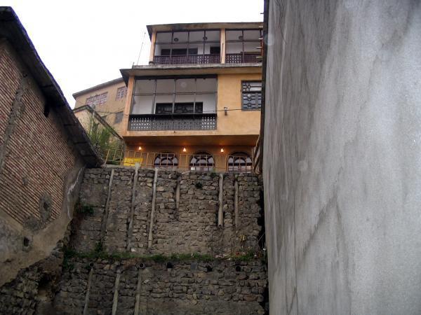
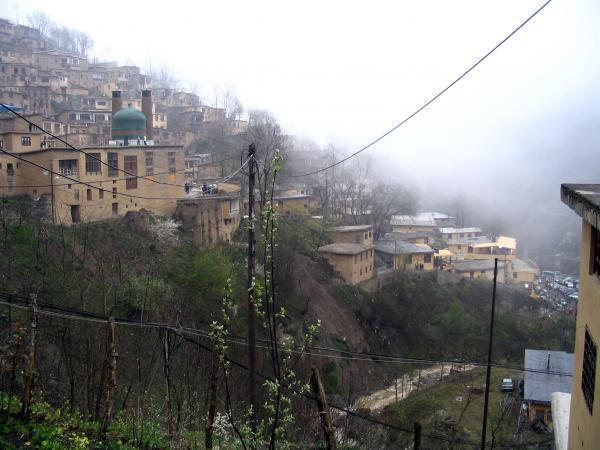
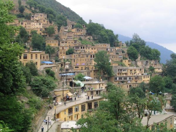
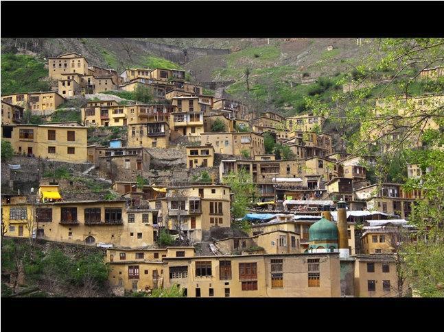
Masouleh is approximately 60 km southwest of Rasht and 32 km west of Fuman. The village is 1,050 meters above sea level in the Alborz mountain range, near the southern coast of the Caspian Sea. The village itself has a difference in elevation of 100 meters.
The first village of Masouleh is approximately established around 1006 AD, 6 km Northwest of the current village, and it is called Old-Masouleh (Persian: کهنه ماسوله, Kohneh Masouleh). People moved from Old-Masouleh to the current village because of Pestilence and neighbor attacks.
Masouheh-Rood-Khan is the river passing through the village with a water fall 200m away from the village. So many other springs are found around Masouleh. Masouleh is also surrounded by forest from valley to mount.
Wikipedia article: http://en.wikipedia.org/wiki/Masuleh
Nearby cities:
Coordinates: 37°9'16"N 48°59'22"E
- Khorovlu/Horovlu 301 km
- sarbandan 341 km
- Nerkin Shorzha 429 km
- سرآقاسید 501 km
- Um shuwaich 702 km
- Tarang village 1184 km
- Eker village 1234 km
- Al Farfar 1503 km
- Shodmonboy 1511 km
- Al Haweyya 1896 km
- زمین 15 km
- Vaznesar 18 km
- Gasht Rodkhan and Siyah Mazegi Protected Area 20 km
- Las Poshteh Summit (2830 m) 21 km
- Tarom Pnu University 25 km
- Shohadaye Tarom Hospital 25 km
- Tarom Vally 29 km
- valley and canyon of the Ghizil Uzen River 38 km
- Ghizil Uzen Rever (canyon) 39 km
- Gilan Province 66 km