Piastów
Poland /
Mazowieckie /
Pruszkyw /
World
/ Poland
/ Mazowieckie
/ Pruszkyw
World / Poland / Masovian
city, municipality, draw only border
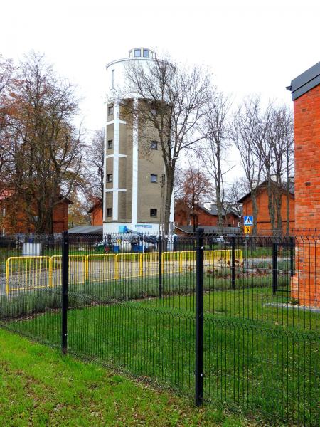
Piastów (early as Żdżary and Utrata) is a town in central Poland, near Warsaw, with 23,331 inhabitants (2006 est). It is situated in the Masovian Voivodship (since 1999); previously, it was in Warszawa Voivodship (1975-1998). With 4,050.5 persons/km², it is the second most densely populated city in Poland
Wikipedia article: http://en.wikipedia.org/wiki/Piastów
Nearby cities:
Coordinates: 52°11'7"N 20°50'50"E
- Warsaw 22 km
- Zielonka 24 km
- Otwock 25 km
- Sochaczew 46 km
- Radom 80 km
- Puławy 108 km
- Skarżysko-Kamienna 112 km
- Piotrkow Trybunalski 117 km
- Ostrowiec Świętokrzyski 137 km
- Kielce 143 km
- Ursus 2.8 km