Devils Elbow
| scenic lookout, picnic area, cliff, roadside attraction
USA /
New York /
Nichols /
World
/ USA
/ New York
/ Nichols
scenic lookout, picnic area, cliff, historical layer / disappeared object, roadside attraction
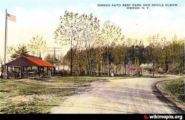
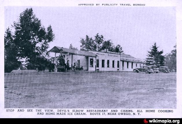
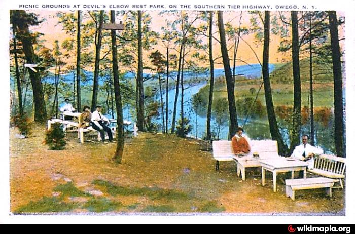
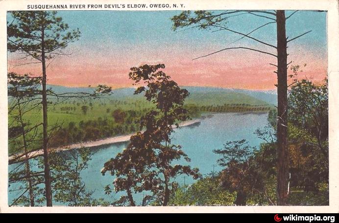
Old auto rest park and scenic picnic grounds.
Nearby cities:
Coordinates: 42°4'36"N 76°20'0"W
- Pijitawabik Palisades 1222 km
- Buckhorn Draw, San Rafael Swell, Utah 2904 km
- Cowboy Rim 3086 km
- Vermilion Cliffs 3099 km
- Walnut Canyon National Monument 3132 km
- Aubrey Cliffs 3239 km
- Merrill Springs Rim 3352 km
- Cliffs of Moher / Aillte an Mhothair 4976 km
- Las Almenas 5862 km
- Hōlei Pali 7693 km
- Town of Tioga, New York 2.1 km
- Tioga County, New York 14 km
- Barton, New York 14 km
- Town of Candor, New York 18 km
- Town of Spencer, New York 20 km
- Chemung, New York 25 km
- Town of Van Etten, New York 26 km
- Danby, New York 30 km
- Erin, New York 31 km
- Newfield, New York 37 km