Brandon Hill Park (Bristol)
United Kingdom /
England /
Bristol /
Charlotte Street
World
/ United Kingdom
/ England
/ Bristol
park, grassland, public garden
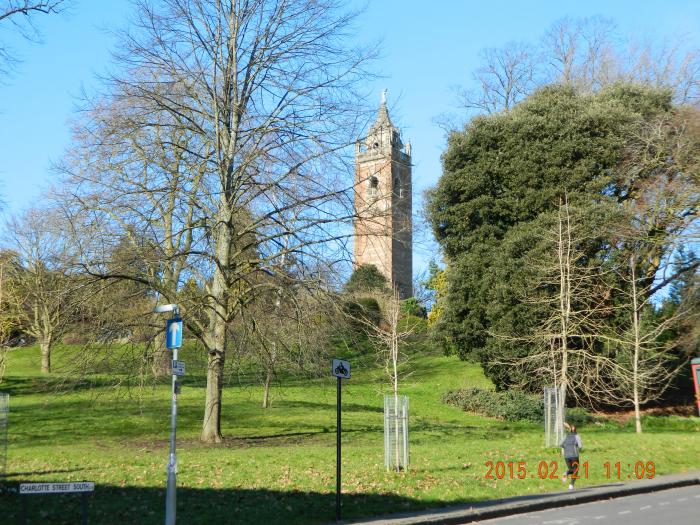


Brandon Hill was granded to the council in 1174 by the Earl of Gloucester, and was used for grazing until 1625 when it became a public open space, possibly the oldest municipal open space in the country. From 1840 onwards Brandon Hill was improved with walls and walks and became classical parkland. The park is steep and is divided into informal gardens, a small nature reserve and open grassland.
off Charlotte Street
Brandon
Bristol
Grid reference: ST579729
off Charlotte Street
Brandon
Bristol
Grid reference: ST579729
Wikipedia article: https://en.wikipedia.org/wiki/Brandon_Hill,_Bristol
Nearby cities:
Coordinates: 51°27'10"N 2°36'25"W
- Deer Park 3.1 km
- Bristol Downs 3.9 km
- Ashton Court Estate 4.4 km
- Avon Valley Woodlands 4.7 km
- Leigh Woods National Nature Reserve 4.7 km
- Stoke Park 5.5 km
- Stockwood Vale Golf Club 6.1 km
- Frome Valley 6.4 km
- Bristol Golf Course 10 km
- Three Brooks Nature Reserve 11 km
- Albion Dockyard 0.5 km
- The Crescent 0.5 km
- Bristol Harbour 0.6 km
- Spike Island 0.6 km
- Bristol City Centre 0.6 km
- Spike Island Artspace 0.7 km
- Baltic Wharf Caravan Club Site 0.9 km
- Clifton 1.1 km
- Bedminster 1.6 km
- Somerset 44 km