Canopies 18B-19A (Antwerp)
Belgium /
Antwerpen /
Antwerp /
Sint-Michielskaai, 18b-19a
World
/ Belgium
/ Antwerpen
/ Antwerp
canopy, historical layer / disappeared object
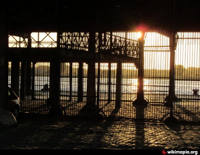
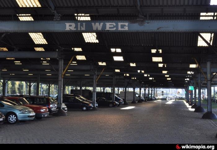

The seven remaining groups of canopies along the quays, from Ledeganckkaai to Rijnkaai, go back to the large-scale infrastructure project that developed between 1877 and 1885 by the straightening of the Scheldt a new port strip. In 1877 the works were started, the new quays were officially inaugurated on July 26, 1885.
The canopies 18A-19B to St Michielskaai are a distinctive witness of this phase in the port history. Their beautiful, striking decoration on street side they determine the image of the Scheldt quays at the height of 'Sint-Andries'.
Protected architectural heritage (ID: 209235)
The canopies 18A-19B to St Michielskaai are a distinctive witness of this phase in the port history. Their beautiful, striking decoration on street side they determine the image of the Scheldt quays at the height of 'Sint-Andries'.
Protected architectural heritage (ID: 209235)
Nearby cities:
Coordinates: 51°13'1"N 4°23'36"E
- Dinosaur footprints 1133 km
- Altanok 1235 km
- Historical Center of Antwerp 0.5 km
- Galgenweel 1.5 km
- Linkeroever 1.8 km
- Natuurgebied Middenvijver 2.2 km
- Sint-Annabos 2.5 km
- Vlietbos 3.4 km
- Blokkersdijk 3.5 km
- Pond 3.6 km
- Zwijndrecht (municipality) 4.9 km
- Antwerp (municipality) 5.4 km