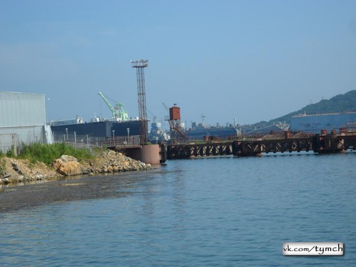
Chazhma Bay
Russia /
Primorje /
Dunay, Shkotovo-22 /
World
/ Russia
/ Primorje
/ Dunay, Shkotovo-22
, 4 km from center (Дунай)
World / Russia / Primor'ye
water, cove, invisible

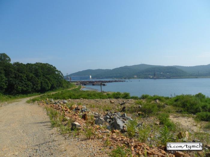
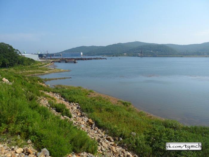
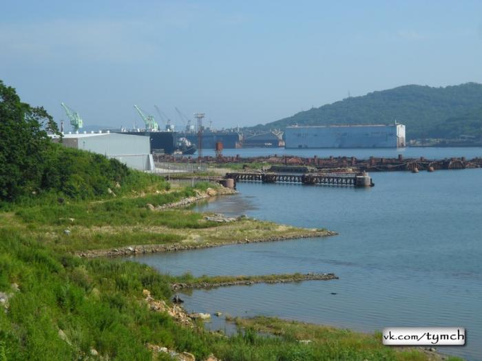
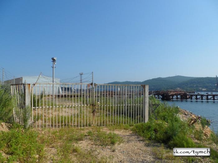
Chazhma Bay 10 August 1985 on APL K -431, project 675, zav. №y"shch, that was being located in the pier №2 of ship-repair plant VMF in the littoral (bay Of chazhma, pos. "shkotovo-22"), with the recharge of reactor cores as a result of the violation of the requirements of nuclear safety and technology of the undermining of the roof of reactor occurred the unguided spontaneous fission chain reaction of the nuclei of uranium of the reactor of left side.
In this case was formed the radioactive train, whose axis crossed peninsula Danube in the northwestern direction and left to the sea on the coast of Ussuri molded edge. The extent of train in the peninsula was 5,5 km (further precipitation of aerosol particles it proceeded to the surface of water area to 30 km from the place of ejection). As a result of emergency was formed the center of the radioactive contamination of the bottom of the water area Of chazhma bay. The region of intensive radioactive contamination was concentrated in the region of emergency and in the limits MED of 240 R/h occupy area of approximately 100000 m2.
In the center section of the center MED it is 20-40 mR/h (maximum 117 mR/h as of 1992). Under the action of flows the radioactive contamination gradually was moved towards output from Chazhma bay. The radioactivity of bottom deposits is caused in essence by cobalt 60 (96-99%) and partially by cesium -137.
Nearby cities:
Coordinates: 42°54'6"N 132°22'15"E
- Sukhodol (Kangauz) Bay 36 km
- Novik Bay 49 km
- Severnaya Bay 81 km
- Baklan Bay 84 km
- Boysmana Bay 92 km
- Kiyevka Bay 103 km
- Sokolovskaya Bay 117 km
- Novgorodskaya Bay 131 km
- Reyd Pallada Bay 134 km
- Ekspeditsii Bay 142 km
- Nazimova Bay 3.8 km
- Abrek Bay 4.8 km
- Pier 5.1 km
- Russian Military Jet 5.3 km
- "Alexander Nikolaev" - Ivan Rogov Class Landing Ship. 5.3 km
- Pier 5.3 km
- Strelok Inlet 5.8 km
- Fokino 6.1 km
- Shirokaya Bay 6.3 km
- Putyatin Island 7.8 km