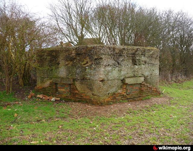
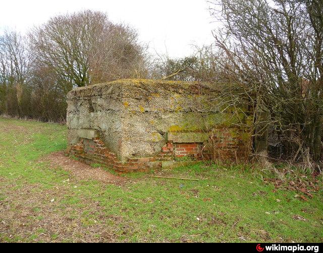
Pillbox
United Kingdom /
England /
Upper Clatford-Abbotts Ann /
World
/ United Kingdom
/ England
/ Upper Clatford-Abbotts Ann
pillbox
Add category
Nearby cities:
Coordinates: 51°9'33"N 1°34'14"W
- WW2 Pillbox 96 km
- Position of two World War 2 Pillboxes 100 km
- Tank Gun Pillbox 134 km
- Jäger stand 165 km
- Pillboxes 600 km
- Bunker and trenches 1160 km
- Department of Motor Vehicles 7027 km
- Fuerte de San Carlos 7679 km
- Pithouse Ruin 8309 km
- California Highway Patrol - Rainbow Inspection Facility (686) 8712 km
- AAC Middle Wallop 1.4 km
- DSTL Porton Down 8.4 km
- South Harewood Forest 10 km
- MoD Boscombe Down 12 km
- Farley Mount Country Park 15 km
- Romsey Parish 21 km
- Salisbury Plain 24 km
- The Salisbury Plain Training Area 26 km
- Borough of Basingstoke and Deane 27 km
- New Forest National Park 33 km