Keiem
Belgium /
West-Flandern /
Diksmuide /
World
/ Belgium
/ West-Flandern
/ Diksmuide
village, draw only border
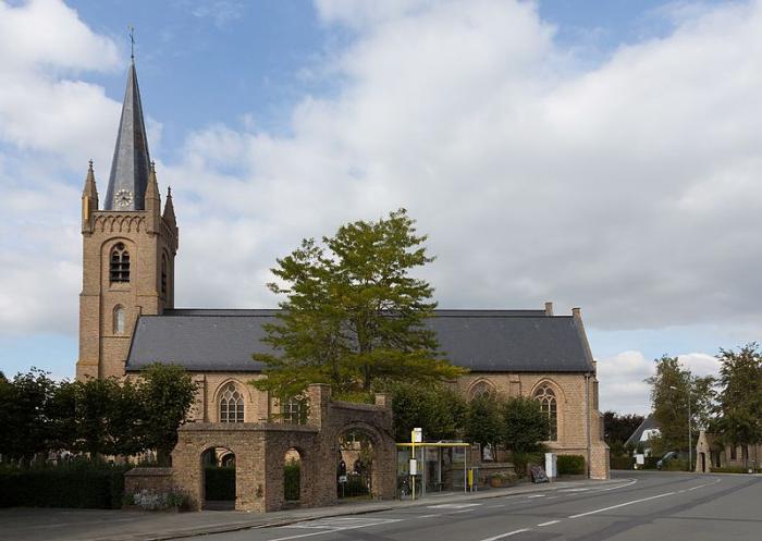
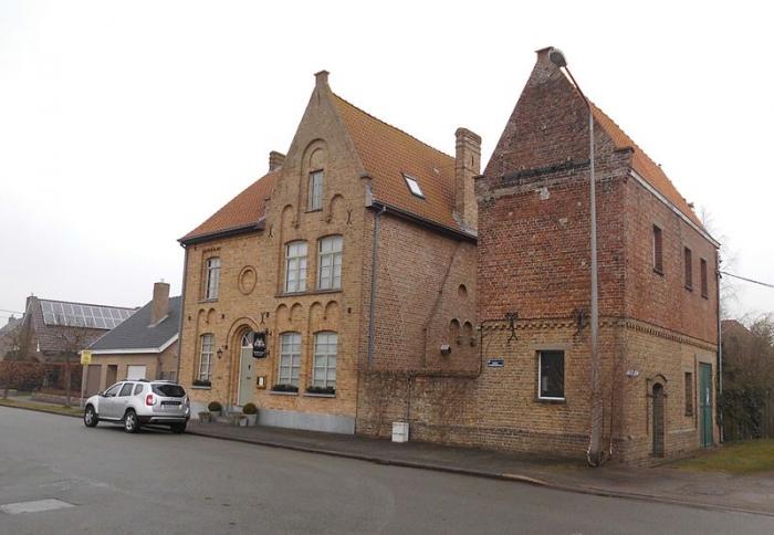
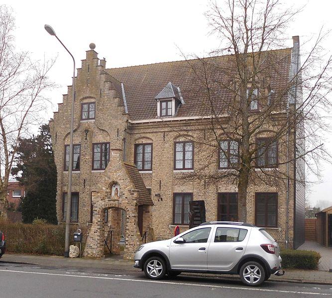
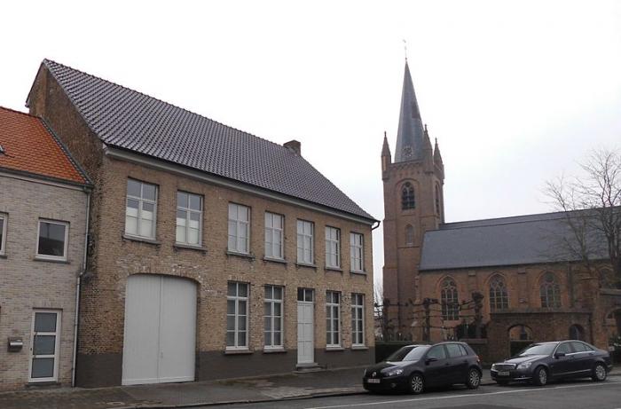
Keiem is a small town situated some 7 km north of Diksmuide in West Flanders, Belgium. Administratively it forms part of Diksmuide Municipality.
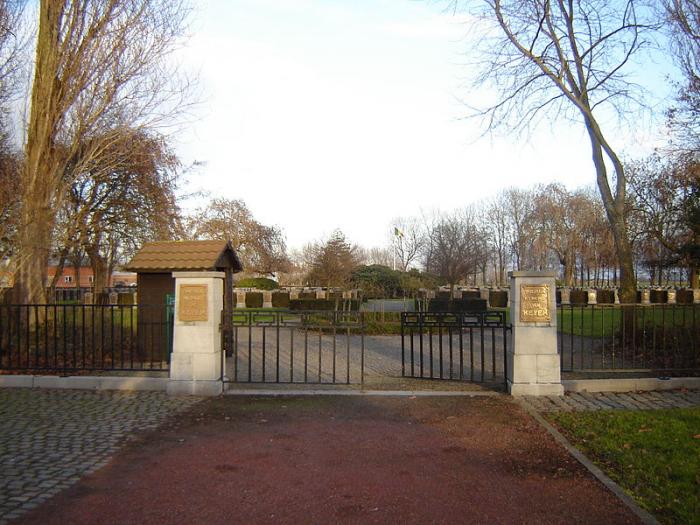
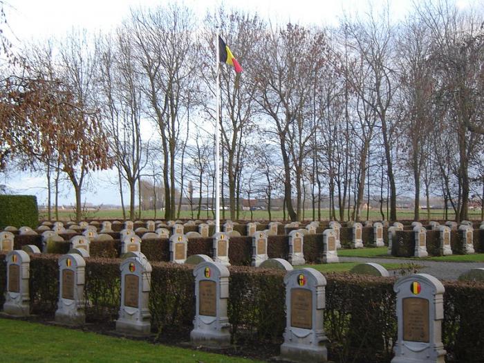
Lying close to the right bank of the River Yser, the town suffered extensive flooding when, on 21 October 1914, the sea locks at the mouth of this river were opened as a defensive measure against the advancing German Army during the "Race to the Sea" phase of World War I. The operation was successful in halting the advance, with the result, however, that Keiem was to occupy the front line of the war for the next four years. By the end of the conflict, apart from three damaged houses which still stood, the town had been completely flattened.
Lying close to the right bank of the River Yser, the town suffered extensive flooding when, on 21 October 1914, the sea locks at the mouth of this river were opened as a defensive measure against the advancing German Army during the "Race to the Sea" phase of World War I. The operation was successful in halting the advance, with the result, however, that Keiem was to occupy the front line of the war for the next four years. By the end of the conflict, apart from three damaged houses which still stood, the town had been completely flattened.
Wikipedia article: http://en.wikipedia.org/wiki/Keiem
Nearby cities:
Coordinates: 51°5'11"N 2°52'25"E
- Koekelare (municipality) 5.5 km
- Diksmuide (municipality) 10 km
- Ichtegem (municipality) 12 km
- Roeselare 17 km
- Zonnebeke (municipality) 18 km
- Ypres (municipality) 18 km
- Heuvelland 31 km
- Aalter (Municipality) 32 km
- Menen (Municipality) 32 km
- Kortrijk 33 km
- Kruishoek 4.9 km
- Welfvenestbos 5.3 km
- Arboretum 6.3 km
- Saint-Godelieveabbey 8 km
- camping 10 km
- Rodanar 11 km
- camping 11 km
- camping 11 km
- camping 11 km
- Groene 62 12 km