Gauri Kund Precinct
India /
Jammu and Kashmir /
Batote /
World
/ India
/ Jammu and Kashmir
/ Batote

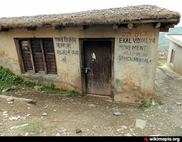
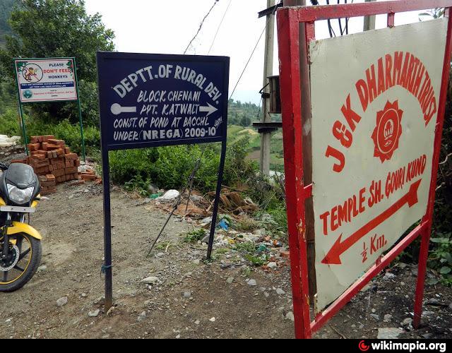
A foot path leads from the Chenani-Mantali road to Gauri Kund (marked at a kink in the footpath). Near this bus stop, a few shops are present. On the other side of the road, we see a 'Ekal Vidyalya' (www.ekal.org/): a NGO 'working in rural and tribal areas, manages non-formal one-teacher schools'.
Nearby cities:
Coordinates: 33°2'27"N 75°21'20"E
- MAAN TALAI 3.8 km
- Village KANOTA (Batote) 10 km
- Natha Top Camp 12 km
- Biloure 14 km
- Ghan Shayam 19 km
- Jangalwar Panchayat 19 km
- GHORDI SER BALA 21 km
- SHIVA 23 km
- dudu padder 24 km
- dudu fangu 24 km
- JKTDC Cottages 4.4 km
- Patni Top 5.4 km
- Chenani-Nashri Road Tunnel 8.4 km
- Potato Farm Nathatop Mada 11 km
- Chenani-Nashri Road Tunnel: North Portal 11 km
- Baglihar Lake 12 km
- Udhampur District 14 km
- Meadow 14 km
- Ramban District 35 km
- Doda District 40 km