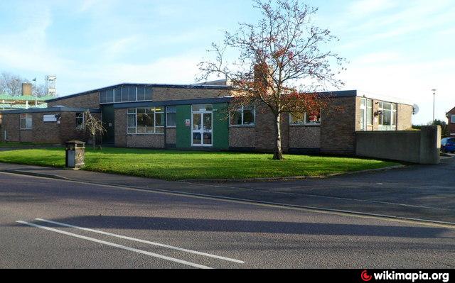
Trowbridge Ambulance Station (Trowbridge)
United Kingdom /
England /
Trowbridge /
A361 Hilperton Road
World
/ United Kingdom
/ England
/ Trowbridge
ambulance station
Add category
Nearby cities:
Coordinates: 51°19'21"N 2°12'2"W
- Taunton Ambulance Station 70 km
- Southampton Central Health Clinic and ambulance station 72 km
- Gelli Industrial Estate 95 km
- Derriford Ambulance Station & Training College 168 km
- Beechdale Ambulance Station 195 km
- Blackpool Ambulance Station (North West Ambulance Service) 282 km
- Sutton Fields Ambulance Station 301 km
- North Yorkshire Ambulance Station 340 km
- Scottish Ambulance Service Aberdeen Station and Offices 649 km
- Raigmore Hospital 697 km
- Trowbridge Town Park 0.5 km
- Trowbridge Cricket Club Pitch and Clubhouse 0.6 km
- Trowbridge Cemetery 0.7 km
- Biss Meadows Country Park 0.8 km
- Trowbridge Sewage Treatment Works 1.4 km
- St Augustines Catholic College 1.4 km
- The John of Gaunt School 1.7 km
- Cockhill Solar Farm 1.8 km
- Great Bradford Wood 2.8 km
- Bradford-On-Avon Golf Club 3.4 km