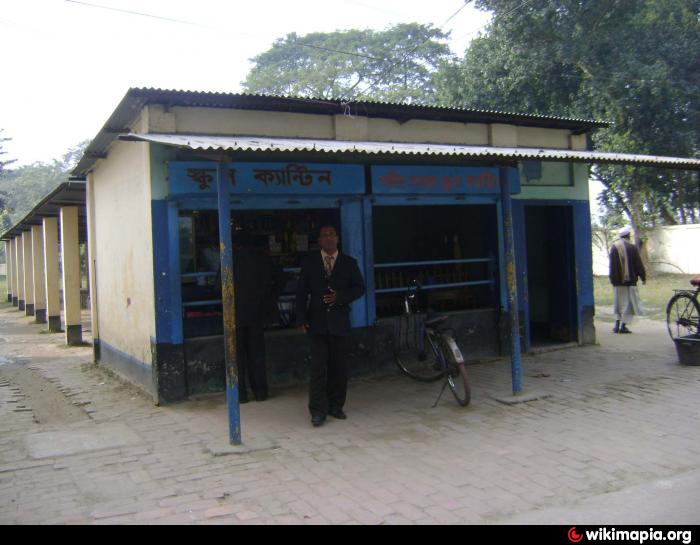
Bir Uttam Shaheed Samad High School - Canteen (Rangpur)
Bangladesh /
Rangpur /
Rangpur
World
/ Bangladesh
/ Rangpur
/ Rangpur
canteen
Add category
Nearby cities:
Coordinates: 25°46'9"N 89°13'6"E
- TERI RETREAT RESORT 126 km
- Bhupa Greens The best vivah bhawan in Darbhanga (best banquet hall in darbhanga) 340 km
- Hotel in Bokaro 391 km
- Lalgutuwa Banquet Hall 483 km
- B R Palace and Resorts 839 km
- Barista Coffee 889 km
- Moti Mehal Deluxe 889 km
- Baba Biryani 889 km
- Domino's 889 km
- Parinay Vatika Banquet Hall 1098 km
- upashar 0.7 km
- Rangpur Cantonment 0.8 km
- Dhap 1.7 km
- Niamat concil 2.6 km
- Ganeshpur 4 km
- Babukha 4.6 km
- চৌদ্দ ভূবন বিল 13 km
- Rangpur District 16 km
- Lalmonirhat District 39 km
- Rajshahi Division 67 km