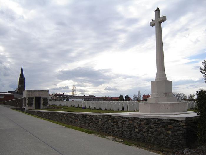
Zandvoorde
Belgium /
Hennegau /
Comines-Warneton /
World
/ Belgium
/ Hennegau
/ Comines-Warneton
village, draw only border
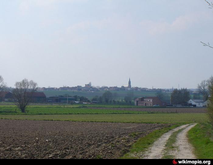
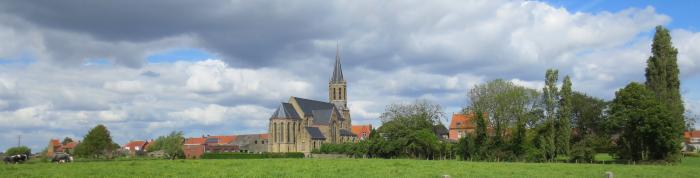
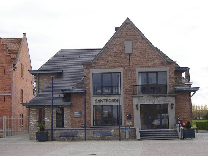
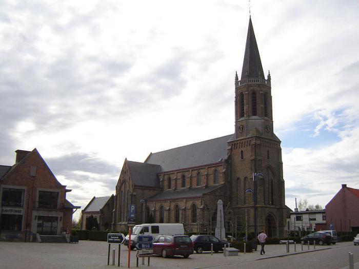
The oldest entry in 1102 reads "Santfort", when the church of Zandvoorde was placed in 1102 under the patronage of the abbey of "Voormezele".
Wikipedia article: http://en.wikipedia.org/wiki/Zandvoorde_(Zonnebeke)
Nearby cities:
Coordinates: 50°48'47"N 2°58'53"E
- Menen (Municipality) 7.3 km
- Zonnebeke (municipality) 13 km
- Kortrijk 17 km
- Heuvelland 19 km
- Ypres (municipality) 20 km
- Roeselare 21 km
- Koekelare (municipality) 36 km
- Diksmuide (municipality) 38 km
- Ichtegem (municipality) 39 km
- Aalter (Municipality) 42 km
- The Canadian Hill 62 Memorial 3.4 km
- Caterpillar 3.6 km
- Memorial Site, Hill 60 3.8 km
- Kabouterbos 3.9 km
- Bellewaerde Park 4.5 km
- The Bluff 4.7 km
- Zillebekevijver 5.6 km
- Moated Grange 5.8 km
- Picanol NV 6.6 km
- Verdronken Weide 6.7 km