Turetsky Val ('Turkey's Rampart')
Russia /
Belgorod /
Zasosna /
World
/ Russia
/ Belgorod
/ Zasosna
, 10 km from center (Засосна)
place with historical importance, fortification, nature conservation park / area, listed building / architectural heritage, historic ruins
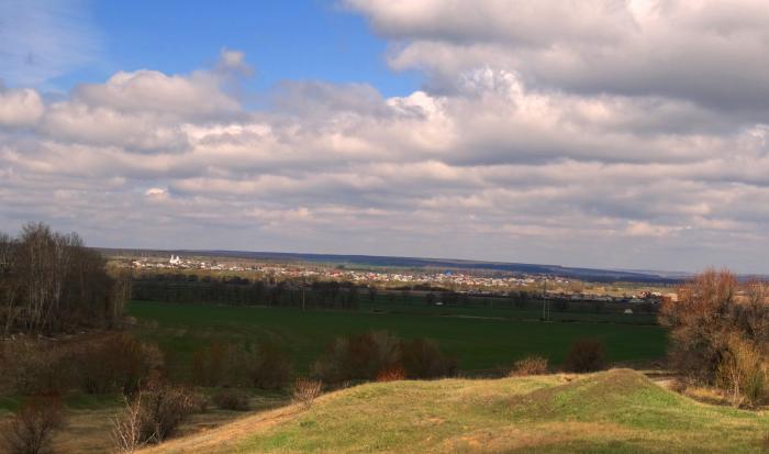
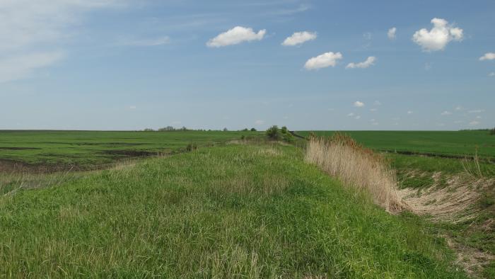
Historic ruins of the Izyumskaya zaseka rampart.
Picture taken from rampart’s top. There is a church in a distance on photo. This is Streletskoye village – Userd (Usyord) settlement/fortress in the past.
Izyumskaya zaseka line (Izyumskaya defensive line) — the system of strengthened defensive lines of Russian Tsardom in a distance of 530 kilometers. It was created in 1679 – 1680 years to protect the Russian state from Crimean and Nogay (Turkey’s) Hordes raids. This line was conventionally named by historian V.P.Zagorovsky from name of Izyum settlement that situated in the middle part of defensive line. The line began from Userd (Usyord) fortress. It was a branch of Belgorodskaya zaseka line. It lost the defensive status in 30-th years of XVIII century as the state’s border shifted to south.
References:
1. V.P. Zagorovsky. Izyumskaya line. - Voronezh: Voronezh State University Publishing, 1980. – 230 pp.
2. V.V. Panashenko Izyumskaya defensive line // Encylopedia of Ukraine’s history. In 10 volumes – Kyiv: Naukova dumka, 2005. – V.3 – 672 pp.
Nearby cities:
Coordinates: 50°37'28"N 38°29'18"E
- Memorial to Soviet soldiers fallen in 1943 10 km
- Mikhail Ol'minsky house-museum 11 km
- Saint Dimitry of Rostov Church 12 km
- The ending place of Ostrogozhsk–Rossosh Offensive 13 km
- Holy Trinity Church 15 km
- Windmill 21 km
- The memorial to Soviet soldiers fallen in 1943 25 km
- The memorial to Soviet soldiers fallen in Great Patriotic War of 1941-1945 37 km
- Mother-of-God of Kazan Church 39 km
- Cave 49 km
- Turetsky Val ('Turkey's Rampart') 5.2 km
- 55 km railway stop 7.6 km
- 55 km railway stop 7.7 km