Loch Oich
United Kingdom /
Scotland /
Fort Augustus /
World
/ United Kingdom
/ Scotland
/ Fort Augustus
water, loch
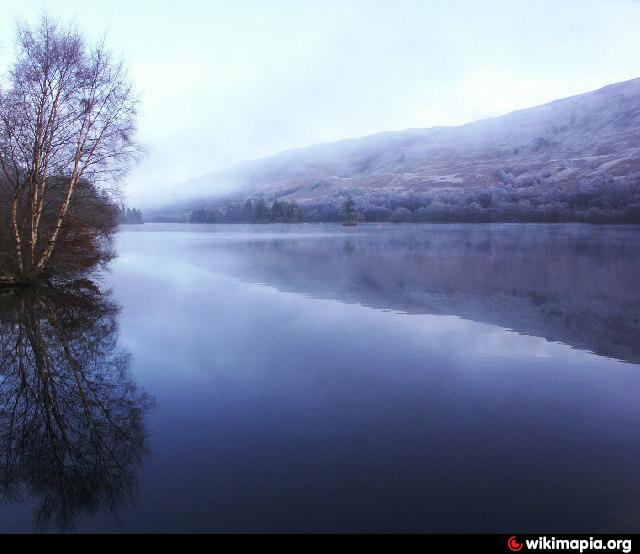
Loch Oich (Scottish Gaelic: Loch Omhaich) is a freshwater loch in the Highlands of Scotland which forms part of the Caledonian Canal, of which it is the highest point. This narrow loch lies between Loch Ness (to the Northeast) and Loch Lochy (to the Southwest) in the Great Glen. It is fed by the River Garry (from Loch Garry) from the West, and feeds the River Oich from its North end. The Laggan locks separate it from Loch Lochy.
Wikipedia article: http://en.wikipedia.org/wiki/Loch_Oich
Nearby cities:
Coordinates: 57°4'3"N 4°46'27"W
- Loch Ericht 24 km
- Loch Ness 39 km
- Loch Tay 61 km
- Loch Shiel 66 km
- Loch Etive 69 km
- Loch Awe 83 km
- Loch Lomond 85 km
- Loch Fyne 96 km
- Loch Long 97 km
- Loch Shin 124 km
- Millennium Wind Farm 7.9 km
- The Parallel Roads of Glen Roy 11 km
- Caledonian Canal 12 km
- Creag Meagaidh, 1,128 m (3,701 ft) 17 km
- Corrimony Wind Farm 24 km
- Laggan Wolftrax - Mountain Bike Centre 29 km
- Urquhart Castle Range 35 km
- Urquhart Bay 36 km
- Loch Ceo Glais 39 km
- Perth and Kinross Council 80 km