Kanne
Belgium /
Limburg /
Maasmechelen /
World
/ Belgium
/ Limburg
/ Maasmechelen
World / Belgium / Vlaanderen / Limburg / Tongeren
village, draw only border

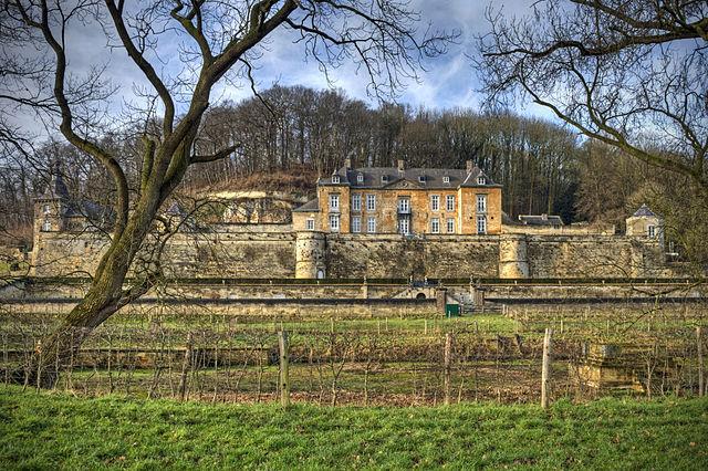


Kanne (Limburgish: Kan) is a village in the municipality of Riemst in the southeastern part of the Belgian province of Limburg. The village has 1156 inhabitants of which a significant part have the Dutch nationality.
Wikipedia article: https://en.wikipedia.org/wiki/Kanne
Nearby cities:
Coordinates: 50°48'43"N 5°39'52"E
- Eijsden-Margraten 5 km
- Aachen 22 km
- Maasmechelen 23 km
- Sittard-Geleen 30 km
- Echt-Susteren 37 km
- Heinsberg 43 km
- Heinsberg (district) 44 km
- Maasgouw 46 km
- Roerdalen 46 km
- Wegberg 54 km
- ENCI quarry and cement factory 2 km
- Fort of Eben-Emael 2 km
- ENCI cement factory 2.2 km
- Fun Valley Maastricht 3.1 km
- CBR-HeidelbergCement Group 3.2 km
- Tongerseweg Cemetery 3.3 km
- Tapijnkazerne 3.8 km
- Nelissen brickworks 4.2 km
- Academic Hospital Maastricht 4.3 km
- Golfclub Maastricht 4.7 km