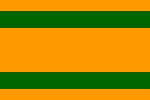
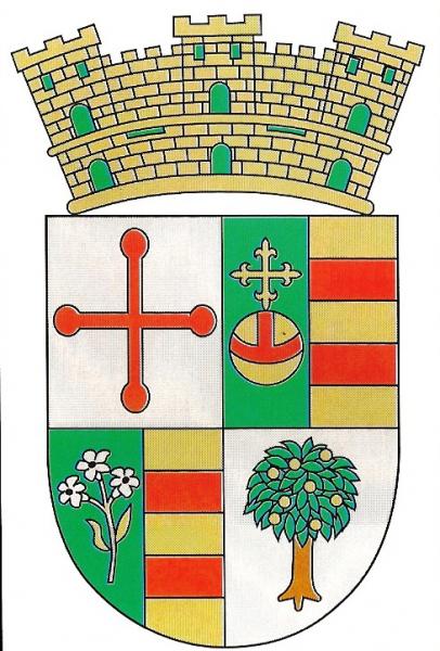
Naranjito
Puerto Rico /
Guayama /
Naranjito /
World
/ Puerto Rico
/ Guayama
/ Naranjito
World / Puerto Rico
city, municipality
Naranjito is a municipality of Puerto Rico located in the central region of the island, south of Toa Alta; north of Barranquitas and Comerío; east of Corozal; and west of Bayamón. Naranjito is spread over 15 wards and Naranjito Pueblo (The downtown area and the administrative center of the city). It is part of the San Juan-Caguas-Guaynabo Metropolitan Statistical Area.
Wikipedia article: https://en.wikipedia.org/wiki/Naranjito,_Puerto_Rico
Nearby cities:
Coordinates: 18°17'14"N 66°15'33"W
- Utuado 61 km
- Guayana City 1155 km
- Boa Vista 1810 km
- Calçoene 2353 km
- Amapá 2455 km
- Ferreira Gomes 2523 km
- Cutias 2537 km
- Macapá 2579 km
- Santana 2582 km
- Itaubal 2587 km
- Cedro Abajo 1.2 km
- Anones 2.4 km
- Achiote 3 km
- Lomas 3.4 km
- Nuevo 3.7 km
- Cedro Arriba 3.9 km
- Doña Elena 4.6 km
- Guadiana 4.9 km
- Palomas 5.9 km
- Palomas 6.1 km