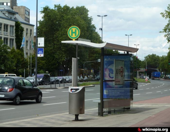
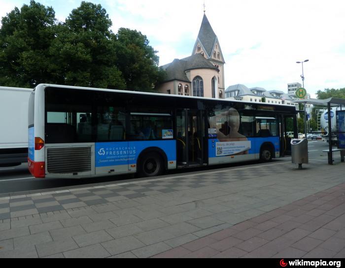
Bus Stop on Am Leystapel (Cologne)
Germany /
Nordrhein-Westfalen /
Cologne /
Am Leystapel
World
/ Germany
/ Nordrhein-Westfalen
/ Cologne
bus stop
Add category
Nearby cities:
Coordinates: 50°55'57"N 6°57'47"E
- Aral petrol station 4.8 km
- Trolleybus station 24 km
- Bus Stop (Du-Flughafen Train Station) 42 km
- Bus stop Dalheim 60 km
- Frittenzang / Bus Shelter 64 km
- Bus depot 88 km
- Bus station / bus stop 93 km
- Imhoff Chocolate Museum 0.1 km
- Maritim Hotel Köln 0.3 km
- Severinsbrücke 0.3 km
- St. Maria im Kapitol Church 0.4 km
- Heumarkt/Haymarket 0.4 km
- Deutzer Bridge 0.5 km
- Cologne City Hall 0.7 km
- Schildergasse Street 0.9 km
- Köln-Neustadt-Süd 1.2 km
- Innenstadt,_CologneSubdivisions 1.3 km