Sinjan Mount
Iran /
Azarbayejan-e Sharqi /
Maragheh /
World
/ Iran
/ Azarbayejan-e Sharqi
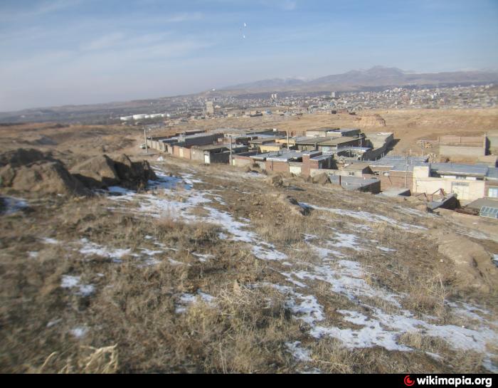
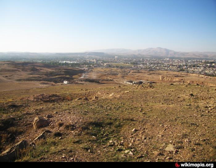
/ Maragheh
, 6 km from center (مراغه)
World / Iran / East Azarbaijan
mount
Add category
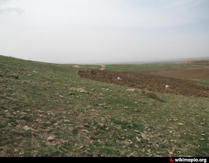
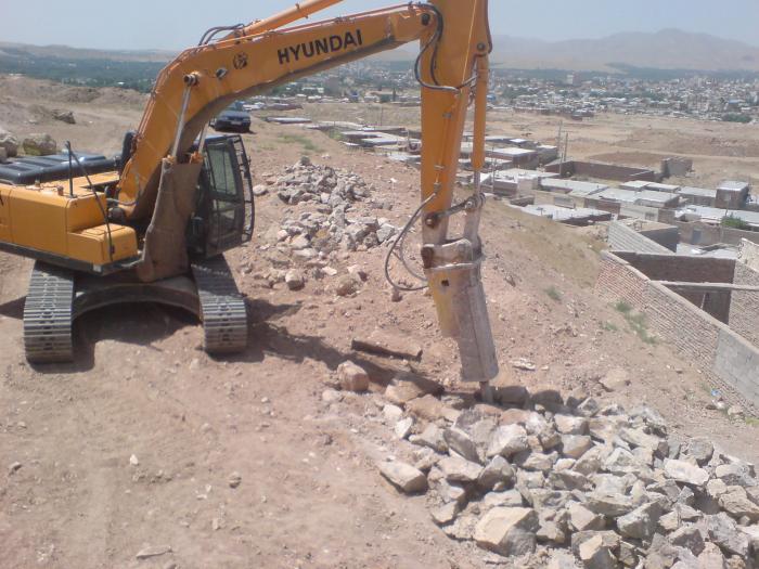
used as quarry and place of a minerals water source
Nearby cities:
Coordinates: 37°21'45"N 46°14'59"E
- Goshayesh Mountain . Maragheh 5.8 km
- Sahand Mountain Range 64 km
- Moz (2200 m) 73 km
- Shebli Mountain - 2601 m 80 km
- SHahi Island 98 km
- Bozqoush Mountain Range 107 km
- GHaflanKuh mountain 121 km
- Sabalan Mountain Range 131 km
- Misho Dag Mountain Range 3150 m 138 km
- Niaq Volcano Mount 185 km
- AmirKabir Town 1.1 km
- Gardens, ( orchards walnut, plum and apple) - the southern city of Maragheh 2.5 km
- gardens Grape vines south of Maragheh 2.7 km
- Maragheh Plain 3.9 km
- Kaveh Soda Sodium Carbonate company manufactures light and heavy 6.2 km
- Industrial town of Maragheh 6.4 km
- Goshayesh canyon & valley - 11.7 km 7.6 km
- Valley of the Mordigh River (Dayti) 8 km
- Zarish mount (2154 m) 9 km
- Route, highway Maragheh - Hashtrood (under construction) 32 km
AmirKabir Town
Gardens, ( orchards walnut, plum and apple) - the southern city of Maragheh
gardens Grape vines south of Maragheh
Maragheh Plain
Kaveh Soda Sodium Carbonate company manufactures light and heavy
Industrial town of Maragheh
Goshayesh canyon & valley - 11.7 km
Valley of the Mordigh River (Dayti)
Zarish mount (2154 m)
Route, highway Maragheh - Hashtrood (under construction)