Pillbox 201
Ukraine /
Kyyivska /
Hatne /
World
/ Ukraine
/ Kyyivska
/ Hatne
, 5 km from center (Гатне)
World / Ukraine / Kiev
Second World War 1939-1945, ruins, fortification, pillbox, Kiev_fortified_area (kiur)
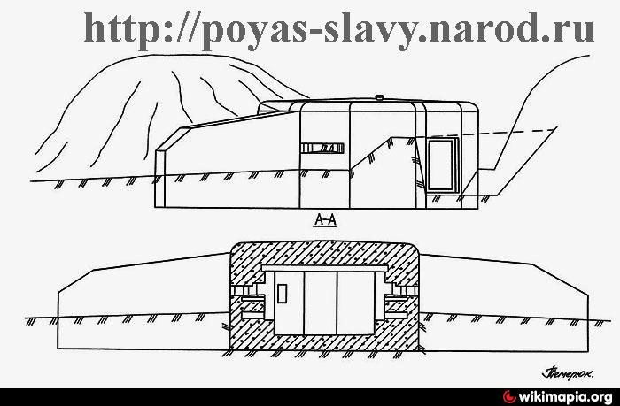
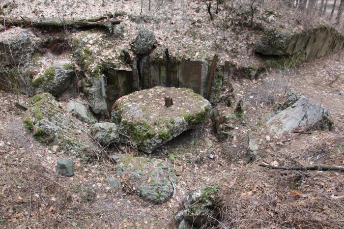
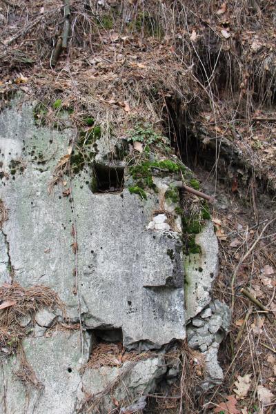
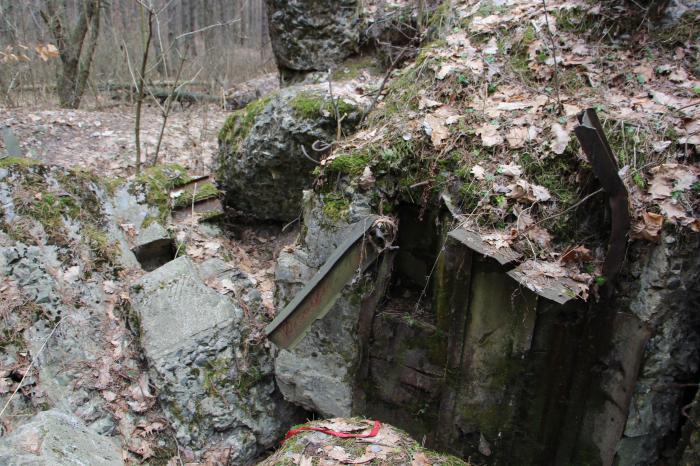
Machinegun caponier, DOT flanking fire.
Floor, not divided into separate rooms, type M2.
Number two embrasures.
Construction year 1931-1932.
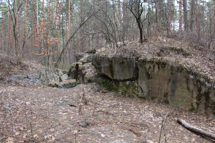
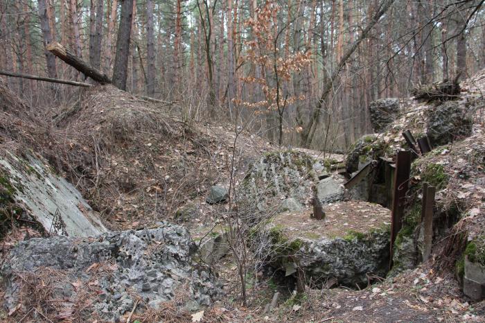
Completely destroyed.
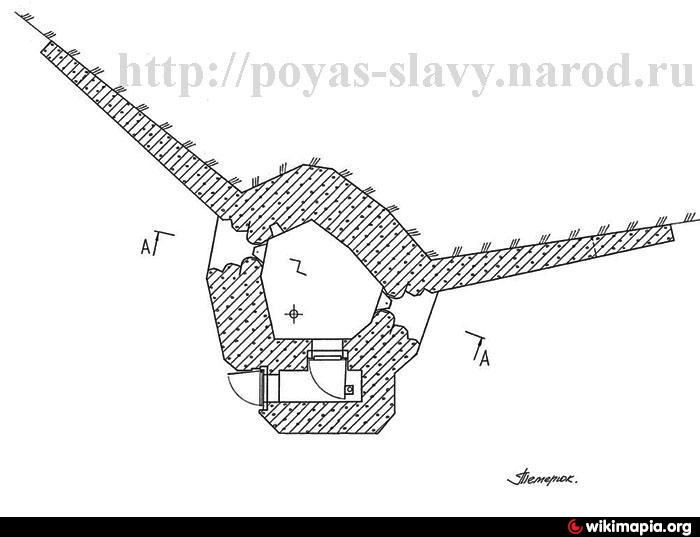
Floor, not divided into separate rooms, type M2.
Number two embrasures.
Construction year 1931-1932.
Completely destroyed.
Nearby cities:
Coordinates: 50°19'44"N 30°22'49"E
- Pillbox 179 1 km
- Pillbox 205 2.6 km
- Pillbox 153 5 km
- Pillbox 236 5.7 km
- Pillbox 152 5.9 km
- Pillbox 283 8.4 km
- Pillbox 336 13 km
- Pillbox 487 23 km
- Pillbox 477 24 km
- Pillbox 554 40 km
- School Yard 0.6 km
- Hatne Rural Territorial Hromada 0.8 km
- Pond 0.9 km
- Quarry Pond 1.4 km
- Pond 1.7 km
- Cemetery 1.8 km
- Territory of former AAD unit 2.1 km
- Gardens 2.2 km
- Cemetery 2.3 km
- Kiev-Sviatoshyn Raion 14 km