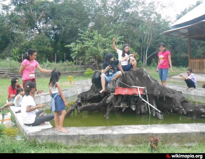
Taman (Pak Bulu Village)
Indonesia /
Kalimantan Barat /
Pontianak /
Pak Bulu Village /
Ds. Pak Bulu
World
/ Indonesia
/ Kalimantan Barat
/ Pontianak
/ Indonesia /
taman
Tambahkan kategori
Kota terdekat:
Koordinat: 0°20'23"N 109°13'12"E
- Tanah DI 34 km
- Kebun Jeruk Achung/Tony 46 km
- Taman Gayung Bersambut 68 km
- Sinka Park 69 km
- Tanjung Batu 98 km
- Selimpai 167 km
- Bundaran Pohon 183 km
- Taman Alun-Alun Sintang 255 km
- Taman Alun-Alun Kapuas Sintang 255 km
- TAMAN NASIONAL DANAU SENTARUM 316 km
- pasar anjungan 3.2 km
- GPIB Panitah Anjungan 6.9 km
- mandor makam juang 27 km
- Pulau Panjang 34 km
- Sei.Berembang Tanggul 37 km
- Kecamatan Pontianak Utara 40 km
- Kecamatan Pontianak Barat 41 km
- Kota Pontianak 43 km
- Tanah H. Moenab Abas 45 km
- Tanjung Enam Belas 58 km