Lander Fort (Lander Village)
India /
Jammu and Kashmir /
Kud /
Lander Village
World
/ India
/ Jammu and Kashmir
/ Kud
World / India / Jammu and Kashmir / Udhampur
fort
Add category
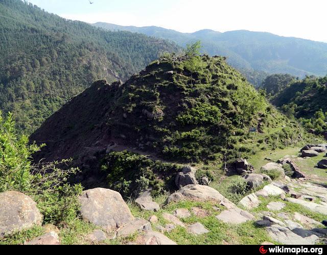
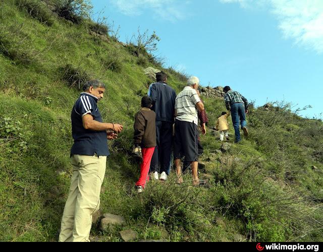
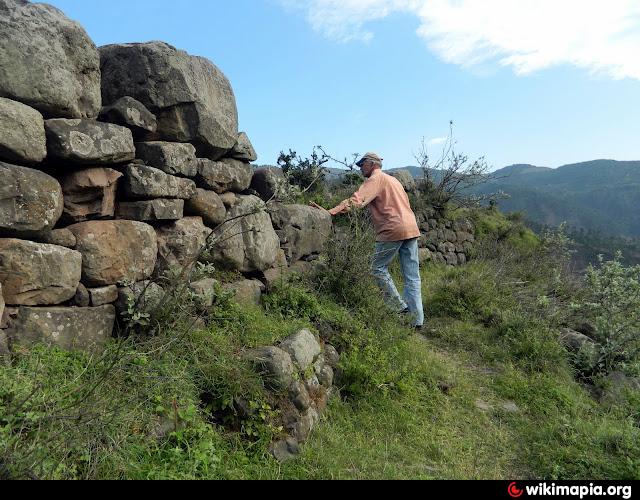
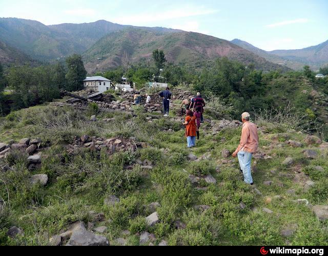
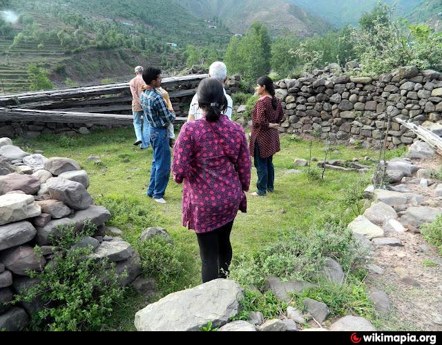
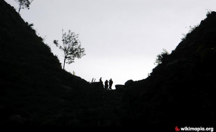
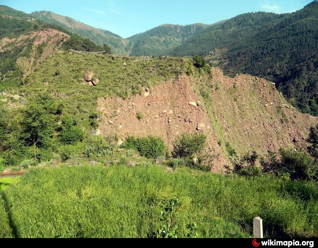
The ruins of the Lander Fort. The hillock appears like the centre of a lotus flower. The surrounding hills in layers appear like the petals of a lotus. Hence the name of the region: "Lander". Due to heavy landslide, all that remains are stones that formed the wall and a few wooden beams.
Lander was at the centre of the ancient route from Jammu to Kashmir.
Lander was at the centre of the ancient route from Jammu to Kashmir.
Nearby cities:
Coordinates: 33°6'49"N 75°11'14"E
- Taragarh Fort 104 km
- Durrani walls of Srinagar 117 km
- Rohtas Fort 152 km
- Panzgam Support Base 186 km
- Battles of Zhawar 486 km
- Acropolis 693 km
- Ancient city of Dalverzin Tepe 865 km
- Akhshikath 927 km
- Ruins of Ancient Sharistan (Kala-i Kachkakha) 936 km
- Banakath/Shahrukhiyah 1019 km
- Lander Valley 2.4 km
- chorgala meadow 5.4 km
- House Of Ghyan Singh 9 km
- House Of Ghyan Chand 9 km
- 26 11 km
- Samroli 12 km
- Chain Singh House 13 km
- Ramban District 24 km
- Udhampur District 26 km
- Reasi District 36 km