"Sun Temple"
Sudan /
Nahr-an-Nil /
Kabusiyah /
World
/ Sudan
/ Nahr-an-Nil
/ Kabusiyah
, 5 km from center (كبوشية)
World / Sudan / Northern / River Nile / Shendi
temple, archaeological site, historic ruins
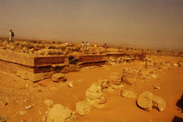
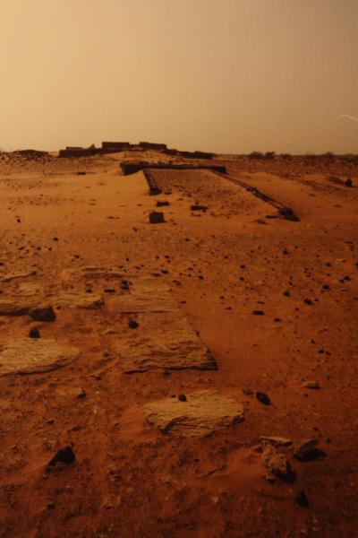
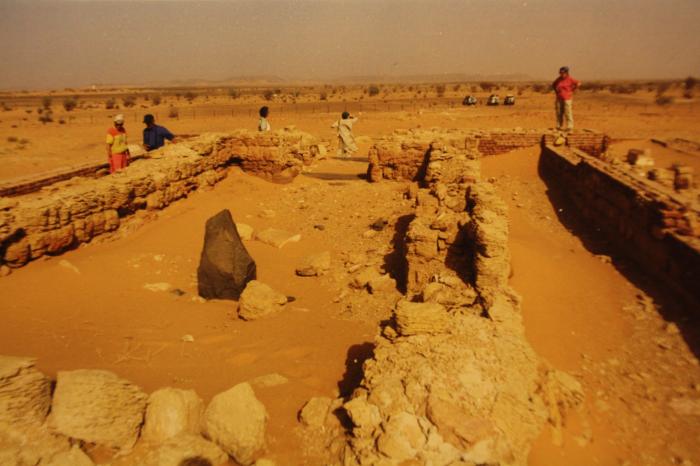
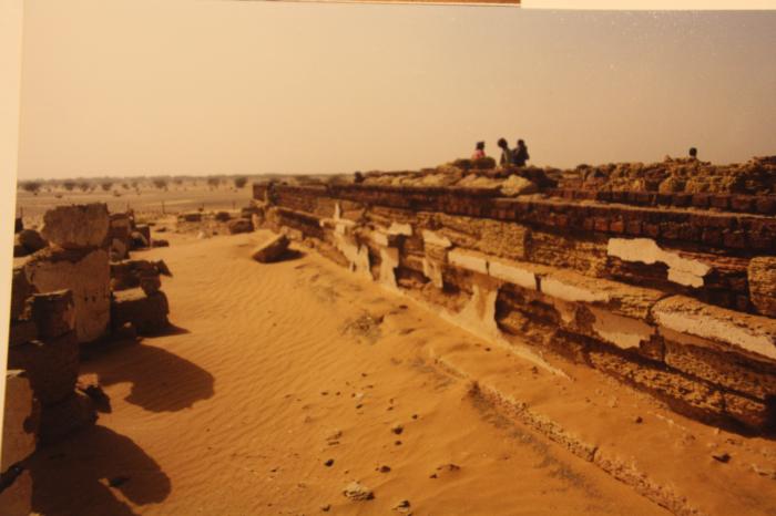
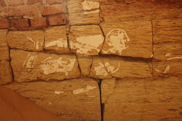
The polygon describes the historic outer wall of the temple, the main building is to be seen in the center. Structures marked by former editors are either the fence or hills not belonging to the temple area. Pictures will follow soon.
Nearby cities:
Coordinates: 16°55'48"N 33°43'19"E
- Meroe 2.4 km
- Musawwarat as Sufra (Aborepi) 71 km
- Napata 270 km
- Old Dongola 349 km
- Saï Island 559 km
- Middle Awash Project 982 km
- Tiya 1082 km
- Al-Magar 1122 km
- Omo Kibish Formation Generic 1297 km
- Buur Heybe Archaeological Site 1933 km
- Hamadab Cemetery 2.2 km
- North pyramid field 3.1 km
- Al-Thawra 3.8 km
- Qweiz 4 km
- Cemetery 4.8 km
- Qaddo Spinning and Weaving Factory 5 km
- Kaboushia Grand Market 5.4 km
- General schools 6.1 km
- Al Shabiliyah 6.5 km
- Wadi Hawwad 47 km