Dix Bridge
USA /
New York /
Schuylerville /
World
/ USA
/ New York
/ Schuylerville
World / United States / New York
bridge, pedestrian crossing
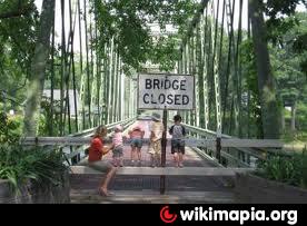
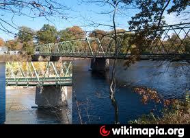
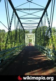
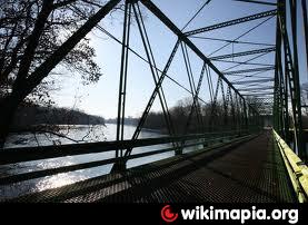
closed to traffic (2010). This bridge will be converted to a pedestrian bridge to connect the west & east sides of a state park along the banks of the Hudson River here.
Nearby cities:
Coordinates: 43°7'0"N 73°34'32"W
- Batchellerville Bridge 43 km
- Champlain Bridge 103 km
- Old Railroad bed 153 km
- Bridges of Keeseville 155 km
- Railway bridge 208 km
- Missisquoi Bay Bridge 209 km
- Rouses Point Bridge 210 km
- Seaway International Bridge / Three Nations Crossing (Border crossing) 231 km
- Old Railroad beds 231 km
- Ogdensburg-Prescott International Bridge 236 km
- Northumberland, New York 6.5 km
- Galusha Island 6.7 km
- Christ the King Spiritual Life Center 7.3 km
- Town of Greenwich, New York 8 km
- Saratoga, New York 9 km
- Easton, New York 10 km
- Gansevoort hamlet 11 km
- Town of Fort Edward, New York 12 km
- Town of Cambridge, New York 16 km
- Argyle, New York 16 km