Silicaru
Italy /
Sardinien /
Chiaramonti /
World
/ Italy
/ Sardinien
/ Chiaramonti
World / Italy / Sardegna / Sassari
farm land / agricultural area, invisible, draw only border
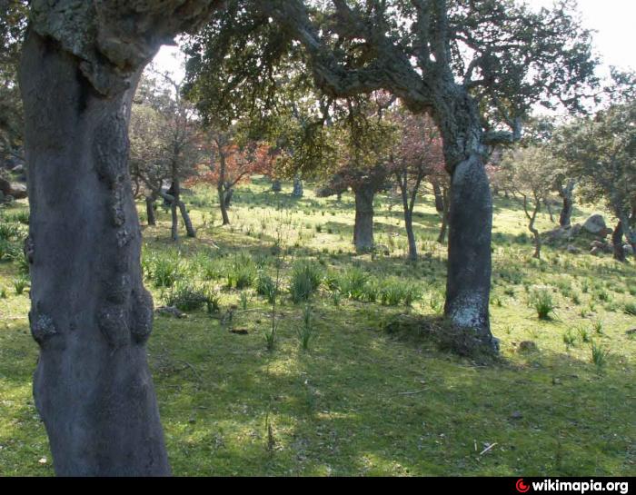
Silicaru
The development of the polygon is approximate only and the name of the place and its real extent. The owners will sometimes use their own invented or adapted to family needs, or at the time of ownership.
The development of the polygon is approximate only and the name of the place and its real extent. The owners will sometimes use their own invented or adapted to family needs, or at the time of ownership.
Nearby cities:
Coordinates: 40°45'22"N 8°52'17"E
- Chirralza 0.8 km
- sas Baddes 1.6 km
- Pisciu Accas 2.1 km
- Chiaramonti Municipality 10 km
- Pittiri 10 km
- Ploaghe 15 km
- Oschiri 19 km
- Municipality of Sedini 20 km
- Castelsardo 27 km
- Urban area of Sassari 37 km
- Nuraghe Sas Baddes or Sas Coas 1.2 km
- Nuraghe Serra 'e Coloras 1.4 km
- Nuraghe Tiriales 2.1 km
- Nuraghe Sos Terrelas I 2.2 km
- Nuraghe Furros 2.2 km
- Nuraghe Peddiu II 2.3 km
- Nuraghe Cuccullai or Monte Cuccula 2.3 km
- Nuraghe Sos Terrelas II 2.4 km
- Domus de janas of Su Murrone 2.7 km
- Sardinia 78 km