Kaprijke (Municipality) (Lembeke)
Belgium /
Ost-Flandern /
Kaprijke /
Lembeke
World
/ Belgium
/ Ost-Flandern
/ Kaprijke
World / Belgium / Vlaanderen / Oost-Vlaanderen / Eeklo
municipality, draw only border
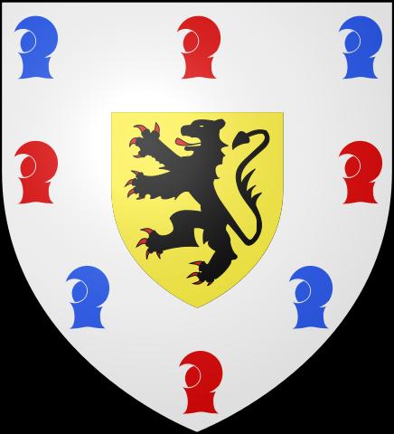
Kaprijke (Dutch pronunciation: [ˈkɑprɛi̯kə]) is a municipality located in the Belgian province of East Flanders. The municipality comprises the towns of Kaprijke proper and Lembeke. On January 1, 2006, Kaprijke had a total population of 6,128. The total area is 33.71 km² which gives a population density of 182 inhabitants per km².
Wikipedia article: http://en.wikipedia.org/wiki/Kaprijke
Nearby cities:
Coordinates: 51°12'31"N 3°37'12"E
- Assenede (Municipality) 8 km
- Terneuzen (municipality) 21 km
- Sluis (municipality) 29 km
- Hulst (municipality) 32 km
- Borsele (municipality) 33 km
- Reimerswaal 43 km
- Noord-Beveland 44 km
- Flushing (municipality) 50 km
- Veere (municipality) 51 km
- Tholen (muncipality) 55 km
- Electricity pylon 0.1 km
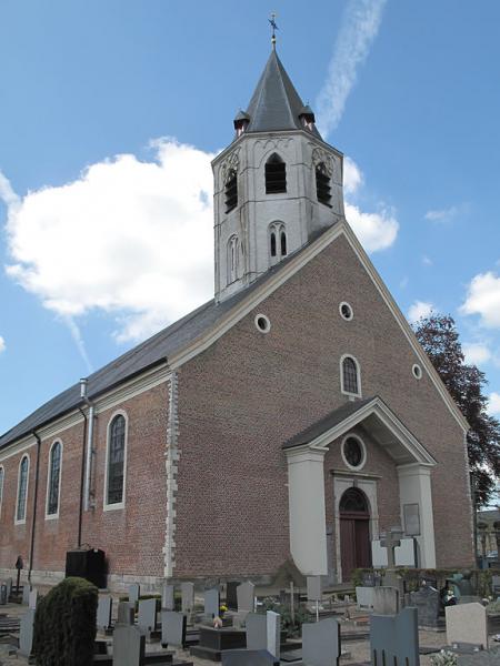
- Saint Eligius Church 1.8 km
- Municipal Cemetery 1.9 km
- Lotus Bakeries 2 km
- Heinestraat, 43 2.9 km
- Electricity pylon 4.2 km
- Frituur 't Ezelken 4.5 km
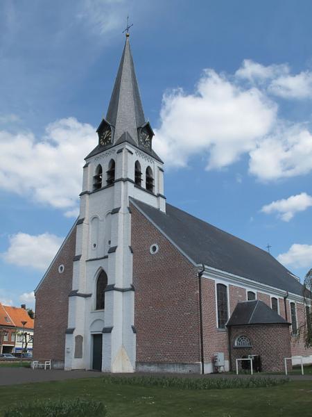
- Onze-Lieve-Vrouw Hemelvaartkerk 4.6 km
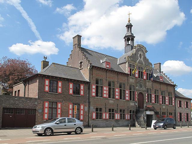
- Oud Gemeentehuis 4.7 km
- Holy Cross and Church of Our Lady 5.1 km