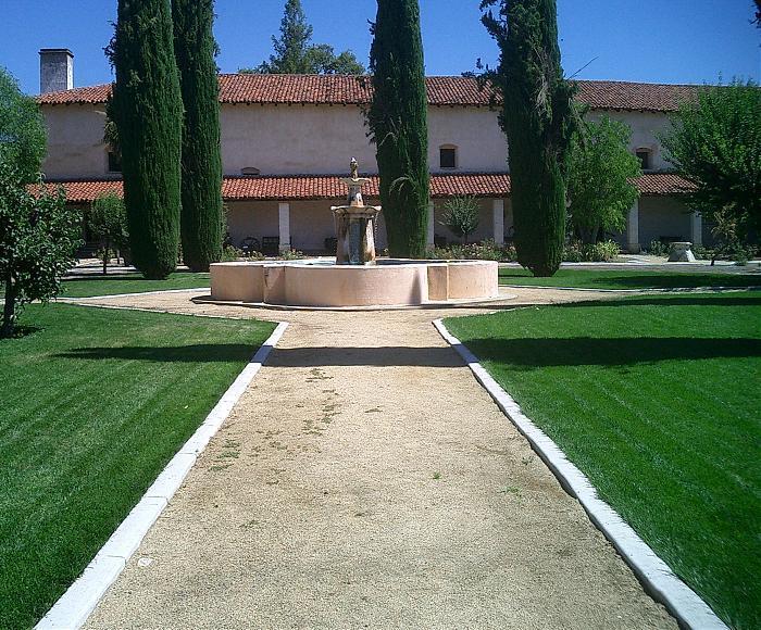
Mission San Antonio de Padua
USA /
California /
King City /
World
/ USA
/ California
/ King City
World / United States / California
church, monastery, Roman Catholic church, religious organisation
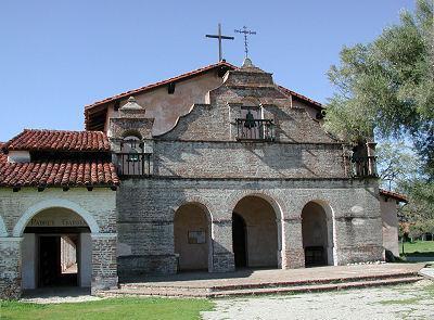
Half way between San Francisco and Los Angeles, the Spanish-era El Camino Real's route is a two-lane road. Winding through rolling hills and curving past vineyards, it enters the Valley of the Oaks, a place little-changed since Spanish missionaries discovered it in 1771. Gnarled oak trees dot golden hillsides, draped in Spanish moss. Hawks soar overhead, black-and-white magpies squawk in olive trees, and the population is less than it was in 1800.
www.missionsanantonio.net
www.missionsanantonio.net
Wikipedia article: http://en.wikipedia.org/wiki/Mission_San_Antonio_de_Padua
Nearby cities:
Coordinates: 36°0'56"N 121°15'0"W
- New Camaldoli Hermitage 26 km
- Holy Trinity Roman Catholic Church 34 km
- Santa Rosa Catholic Church-Cambria 52 km
- Kingdom Hall of Jehovah's Witnesses 52 km
- First Baptist Church 54 km
- Sanctuary Bible Church 77 km
- St. Philip's Lutheran Church 78 km
- Community Church of the Monterey Peninsula 82 km
- Carmelite Monastery of Our Lady and St. Therese 83 km
- Church of Jesus Christ of Latter-day Saints 84 km
- Fort Hunter Liggett 10 km
- Los Padres National Forest 22 km
- Limekiln State Park 25 km
- Pine Creek Vineyard 27 km
- Lake San Antonio - North Shore 30 km
- Lake San Antonio 34 km
- Lake Nacimiento 40 km
- Hearst San Simeon State Park 48 km
- Cambria, California 53 km
- Harmony Headlands State Park 64 km