Fastnet Rock
Ireland /
Cork /
Bantry /
World
/ Ireland
/ Cork
/ Bantry
World / Republic of Ireland
island, lighthouse, rocks, foghorn
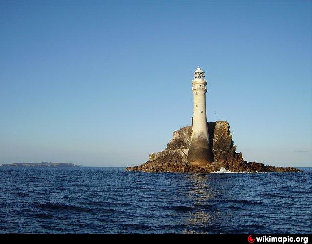
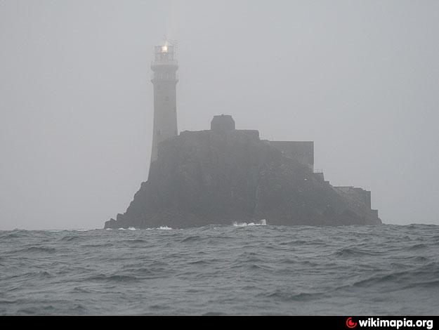
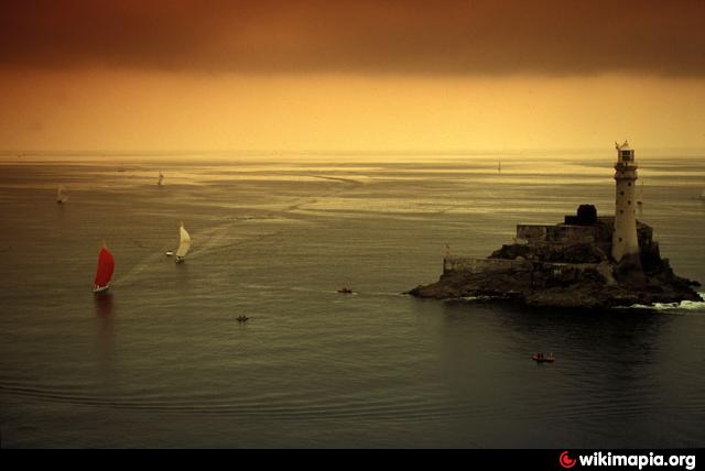
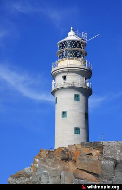
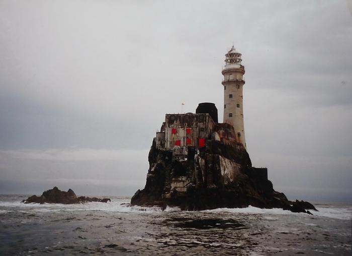
Irish: Carraig Aonair.
Ireland's most southerly point, with a distinctive lighthouse. The teardrop of Ireland - 4.5 miles south-east of Cape Clear Island.
www.commissionersofirishlights.com/cil/aids-to-navigati...
Ireland's most southerly point, with a distinctive lighthouse. The teardrop of Ireland - 4.5 miles south-east of Cape Clear Island.
www.commissionersofirishlights.com/cil/aids-to-navigati...
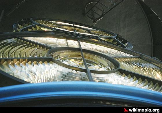
Wikipedia article: http://en.wikipedia.org/wiki/Fastnet_Lighthouse
Nearby cities:
Coordinates: 51°23'22"N 9°36'8"W
- Crookhaven Lighthouse 12 km
- Ardnakinna Lighthouse 34 km
- Bull Rock Light 53 km
- Inishtearaght Lighthouse 106 km
- Mine Head Light 154 km
- The Ring of Hook 201 km
- Tuscar Lighthouse 251 km
- Seven Stones Light Vessel 287 km
- Pendeen lighthouse 308 km
- Wolf Rock Lighthouse 313 km
- Oileán Cléire (Clear Island/Cape Clear) 9 km
- Croagh Bay 13 km
- Sherkin Island (Inis Earcáin) 16 km
- Roaringwater Bay / Loch Trasna 20 km
- Bantry Bay 28 km
- Bere Island (An tOileán Mór) 32 km
- Bere Haven 33 km
- Glandore Harbour 39 km
- Beara Peninsula (Leithinis Béarra) 41 km
- County Cork (Contae Chorcaí) 71 km