Pico da Bandeira (Ibitirama)
Brazil /
Espirito Santo /
Irupi /
Ibitirama
World
/ Brazil
/ Espirito Santo
/ Irupi
World / Brazil / Espírito Santo / Ibitirama
mountain
Add category

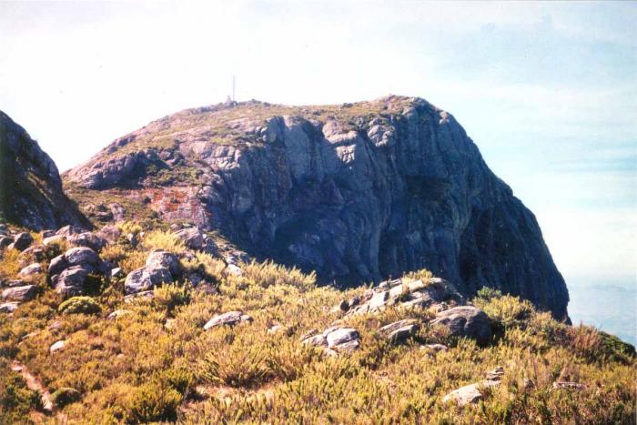
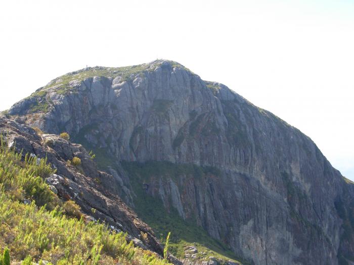
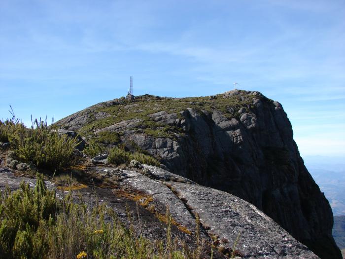
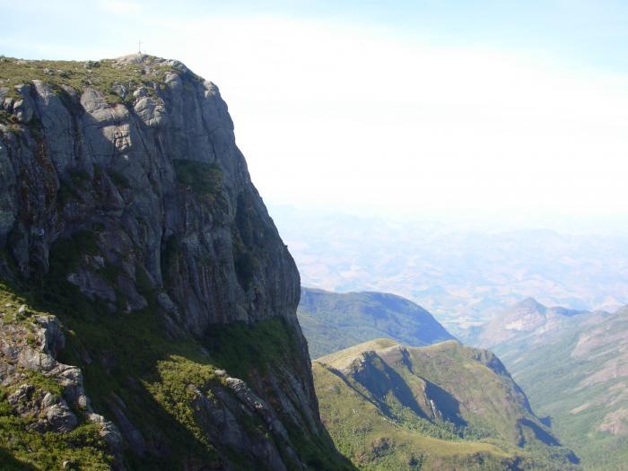
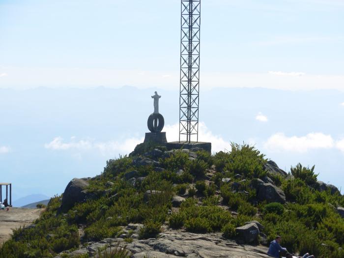
Pico da Bandeira ( Flag Peak) is the third highest mountain in Brazil, situated near the border of Espírito Santo and Minas Gerais. It is the highest point in both states as well.[1] It was historically considered the highest mountain in Brazil until the 1950s, when the Pico da Neblina was explored and measured near the Venezuelan border. The name means "Peak of the Flag" and it was so named after Pedro II, Emperor of Brazil, ordered a flag to be flown on it.
It is one of the major attractions of the Caparaó National Park (Parque Nacional do Caparaó), accessible from the nearby city Alto Caparaó. Alto Caparaó and the entrance to the park lie in Minas Gerais, however the summit of Pico da Bandeira lies in Espírito Santo.
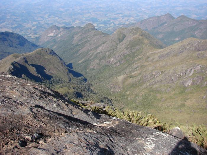
The summit is accessible to hikers of most age groups, with only very limited fitness requirements. The track from the park entrance to the summit track (8 km, 1000m climb) can be driven by most vehicles, and the summit track itself runs for approximately 9 km with a further 1000m climb.
It is one of the major attractions of the Caparaó National Park (Parque Nacional do Caparaó), accessible from the nearby city Alto Caparaó. Alto Caparaó and the entrance to the park lie in Minas Gerais, however the summit of Pico da Bandeira lies in Espírito Santo.
The summit is accessible to hikers of most age groups, with only very limited fitness requirements. The track from the park entrance to the summit track (8 km, 1000m climb) can be driven by most vehicles, and the summit track itself runs for approximately 9 km with a further 1000m climb.
Wikipedia article: http://en.wikipedia.org/wiki/Pico_da_Bandeira
Nearby cities:
Coordinates: 20°26'0"S 41°47'46"W
- Pedra Três Pontões 88 km
- Pedra da freira 88 km
- Padre e Freira's (Priest and Num's) Stone 95 km
- Pontal do Sinal 109 km
- ttt 150 km
- Heaven Hill 157 km
- Pedra Dubois 169 km
- Caparaó National Park 3 km
- Cemetery 12 km
- Cemetery of Ibitirama 18 km
- Irupi Cemetery 19 km
- Water Falls 22 km
- Cemetery 24 km
- Coronel João Osório Square 29 km
- Cemetery 29 km
- Vereador Antides Faria Square 29 km
- Smoke Waterfall 30 km