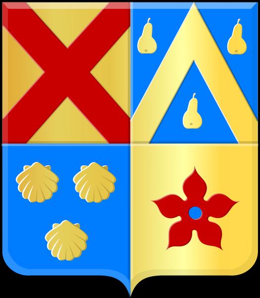
Bertem (municipality)
Belgium /
Flamisch Brabant /
Bertem /
World
/ Belgium
/ Flamisch Brabant
/ Bertem
World / Belgium / Vlaanderen / Vlaams Brabant / Leuven
municipality, draw only border
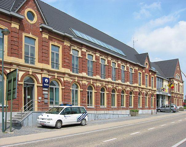
Bertem (Dutch pronunciation: [ˈbɛrtɛm]) is a municipality located in the Belgian province of Flemish Brabant. The municipality comprises the towns of Bertem proper, Korbeek-Dijle and Leefdaal. On January 1, 2006, Bertem had a total population of 9,215. The total area is 29.75 km² which gives a population density of 310 inhabitants per km².
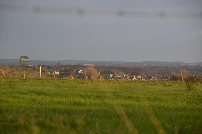
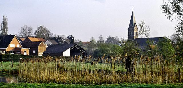
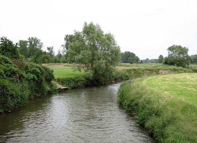
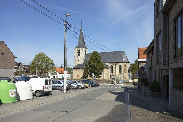
The area is noted for its rural landscape, in particular the "Koeheide" and "Bertembos" ("Bertem Forest"). On the open plains of Leefdaal, it is possible to see the endangered European Hamster (Cricetus cricetus)). The village of Bertem itself is home to the Sint-Pieters-Bandenkerk [nl], a romanesque church built between 950 and 1050.
The area is noted for its rural landscape, in particular the "Koeheide" and "Bertembos" ("Bertem Forest"). On the open plains of Leefdaal, it is possible to see the endangered European Hamster (Cricetus cricetus)). The village of Bertem itself is home to the Sint-Pieters-Bandenkerk [nl], a romanesque church built between 950 and 1050.
Wikipedia article: https://en.wikipedia.org/wiki/Bertem
Nearby cities:
Coordinates: 50°51'16"N 4°36'11"E
- Leuven (municipality) 10 km
- Overijse 12 km
- City of Brussels 21 km
- Aarschot 24 km
- Brussels-Capital Region 26 km
- Mechelen (municipality) 30 km
- Herselt 30 km
- Heist-op-den-Berg (municipality) 31 km
- Lier (municipality) 35 km
- Herentals 42 km
- Transport Ginis 0.2 km
- Transport Francois 0.5 km
- De Grubbe 2.3 km
- De Negensprong 3.5 km
- Bertem bos 4.1 km
- Plantsoenbos 4.1 km
- Residence Groenedal 4.7 km
- Station Erps-Kwerps 4.8 km
- Belgian Military Cemetery, Veltem-Beisem 4.9 km
- Ivo van Damme Grave 5.4 km