SAGE Direction Center DC-22
USA /
Iowa /
Sergeant Bluff /
World
/ USA
/ Iowa
/ Sergeant Bluff
World / United States / Iowa
civil defense facility
Add category
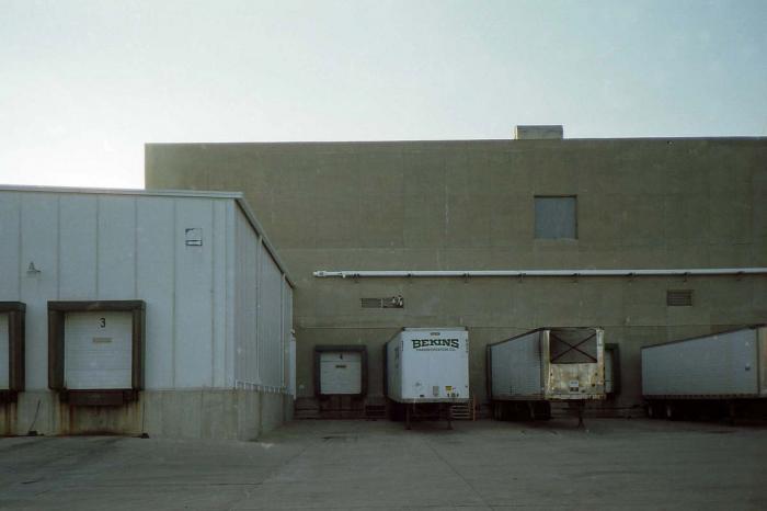


Hardened direction center for the Sioux City Air Defense Sector as part of the 1950's SAGE air defense system. Housed two AN/FSQ-7 computers and associated command and control infrastructure to track all air traffic in the area and vector defense assets to intercept and threats.
Wikipedia article: http://en.wikipedia.org/wiki/Sioux_City_Air_Defense_Sector
Nearby cities:
Coordinates: 42°23'51"N 96°22'26"W
- SAGE Direction Center DC-08 / Combat Center CC-06 424 km
- SAGE Direction Center DC-07 / Combat Center CC-02 581 km
- Natural Resources Research Institute (formerly SAGE Direction Center DC-10) 594 km
- Saab Barracuda LLC 1705 km
- SAGE Direction Center DC-15 1882 km
- SAGE Direction Center DC-16 1991 km
- Kelly Butte Civil Defense Center (Former) 2117 km
- Western Air Defense Sector (former SAGE Direction Center DC-12 / Combat Center 03, Bldg 852 ) 2120 km
- Broadmoor Facility 2230 km
- civil protection 7666 km
- Sioux Gateway Airport (SUX/KSUX) - Colonel Bud Day Field 1.3 km
- Woodbury Township, Woodbury County, Iowa 4.9 km
- Liberty Township, Woodbury County, Iowa 6.8 km
- Mile Long Island WMA 7.2 km
- Concord Township, Woodbury County, Iowa 16 km
- Riverside 16 km
- Lakeport Township, Woodbury County, Iowa 17 km
- Stone State Park 18 km
- Adams Homestead and Nature Preserve 20 km
- Wynstone 21 km
Sioux Gateway Airport (SUX/KSUX) - Colonel Bud Day Field
Woodbury Township, Woodbury County, Iowa
Liberty Township, Woodbury County, Iowa
Mile Long Island WMA
Concord Township, Woodbury County, Iowa
Riverside
Lakeport Township, Woodbury County, Iowa
Stone State Park
Adams Homestead and Nature Preserve
Wynstone