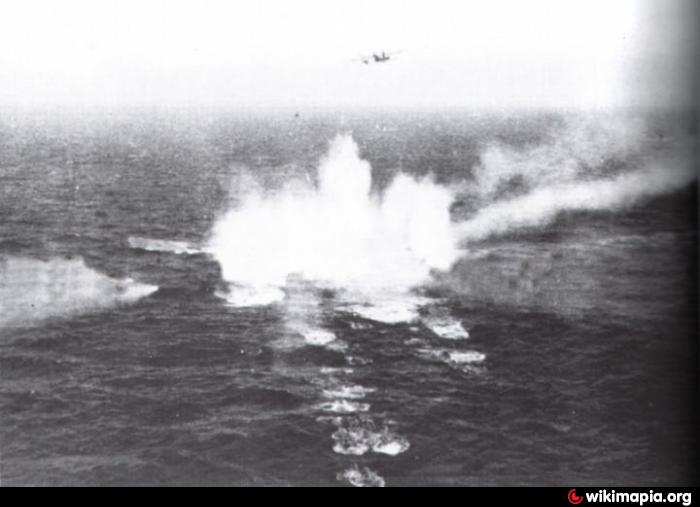
U-804 (Wreck)
Denmark /
Nordjylland /
Skagen /
World
/ Denmark
/ Nordjylland
/ Skagen
World / Sweden / Västra Götaland
Second World War 1939-1945, shipwreck
Wikipedia article: http://en.wikipedia.org/wiki/German_submarine_U-804
Nearby cities:
Coordinates: 57°34'44"N 11°9'31"E
- Place of flooding of the ships. 37 km
- Sunken ships place 169 km
- MS Rio de Janeiro wreck (sunk 1940) 170 km
- Sailing yacht "Bieszczady" sinking 272 km
- HMS Invincible (wreck) 310 km
- Wreck of Finnish coastal defence ship Ilmarinen 612 km
- M/S Estonia wreck 642 km
- Wreck ''Vrouw Maria'' 660 km
- U-317(wreck) 724 km
- Approximate sinking position of British Destroyer HMS Glowworm 806 km
- Hirsholmene 34 km
- Læsø 35 km
- Kjølpen 35 km
- Deget 37 km
- Frederikshavn Wind Farm 39 km
- Floating drydock 39 km
- Ålbæk Bugt 39 km
- Floating drydock 40 km
- Frederikshavn Naval Base 40 km
- Tannis Bugt 54 km
Comments