Yahotyn City Territorial Community (Черняховка)
| municipality
Ukraine /
Kyyivska /
Yahotyn /
Черняховка
World
/ Ukraine
/ Kyyivska
/ Yahotyn
, 17 km from center (Яготин)
World / Ukraine / Kiev
municipality, draw only border, do not draw title
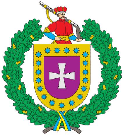

The territorial community in Ukraine, in Boryspil district of Kyiv region. The administrative center is the city of Yahotyn.
The area of the community is 792.85 km², the population — 32,157 people (2020).
It was formed on June 12, 2020, by uniting all city and village councils of Yahotyn district.
The area of the community is 792.85 km², the population — 32,157 people (2020).
It was formed on June 12, 2020, by uniting all city and village councils of Yahotyn district.
Nearby cities:
Coordinates: 50°12'44"N 31°54'53"E
- Drabiv Raion 3.8 km
- Natalivka 22 km
- Garden 30 km
- Children's camp "Jubilee" 42 km
- Baryshivskyi Tannery 45 km
- Former Pryluky air base 49 km
- Zghurivka Raion 57 km
- Sesvanderhave Sugar Seeds Gogolyv Factory 72 km
- Borispol school 6 72 km
- Forest 82 km
- Grechaniv maidan 3.1 km
- BS 25501 4.8 km
- BS 25501 5.3 km
- Maidan Dvirkivshchna 5.8 km
- Dvirkiv maidan 6.8 km
- Pond 7.2 km
- Church of Presentation of Lord 7.9 km
- Maidan Kajnary 2 8.6 km