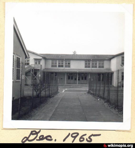
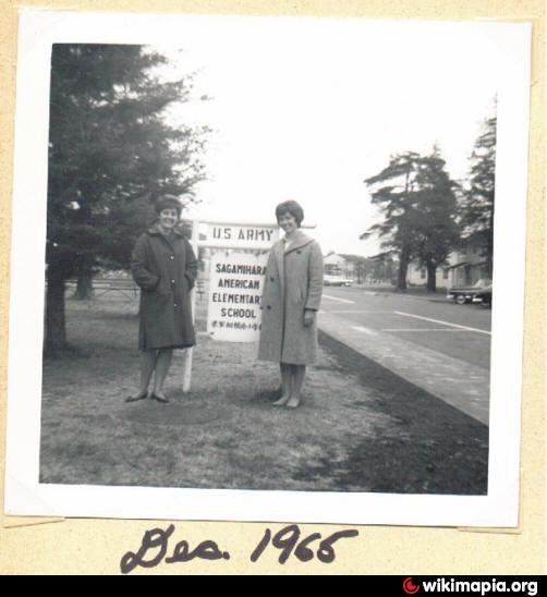
John O. Arnn Elementary School (Sagamihara)
Japan /
Kanagawa /
Zama /
Sagamihara
World
/ Japan
/ Kanagawa
/ Zama
World / Japan / Kanagawa
Nearby cities:
Coordinates: 35°31'15"N 139°24'58"E
- Camp Zama Golf Driving Range 2.1 km
- General's Hill 2.7 km
- Dewey Park (Camp Zama) 2.7 km
- Bachelor Officers & Family Quaters 2.8 km
- IBM, Yamato 3.5 km
- Widest Open Area with Grass 6.8 km
- Narayama Park 7.4 km
- Midoriyama Studio City West Field 8 km
- Yokohama-Aoba Interchange 11 km
- Yokohama Municipal Koyo Gakuen 13 km
- US Army Sagamihara Housing Area 0.4 km
- Sagami-Ono 6-chome, 1.7 km
- Sagami Women's University 1.7 km
- Green Road on the Water Pipe of Yokohama City Water Service 2 km
- Sagami Country Club 2.1 km
- Japanese Cemetery 2.2 km
- Kastner AAF(Army Air Forces) Camp Zama 2.2 km
- Nissan Factory 2.3 km
- Camp Zama, Japan 2.7 km
- Nissan Motor Co., Ltd. Zama Operation Center 3.1 km
Comments