Shipki La Check Post
India /
Uttaranchal /
Gangotri /
National Highway-5 (New)
World
/ India
/ Uttaranchal
/ Gangotri
World / People's Republic of China / Xizang / Ngari
border checkpoint, border outpost
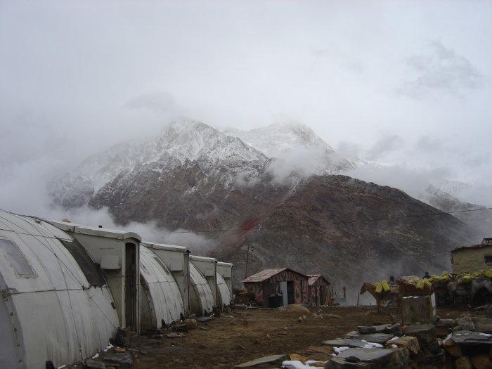
Shipki La is more of a spur than a pass, as one side (N) of it plunges straight down to the Satluj about a 1000 mtrs below.
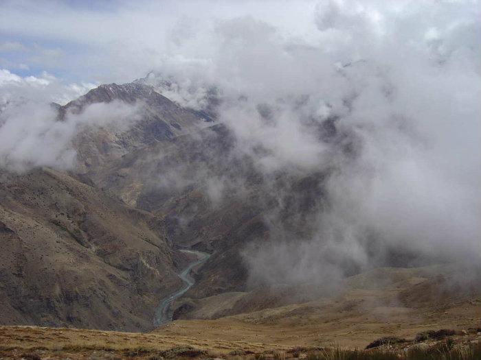
The cloud shrouded peak is of the south face of the Rock Demon better known as Reo Pargial I (22,280 ft). The Satluj thatius seen in a photograph is in Tibet flowing below the Drongmar ridge, which turns the Pare chu into India to meet the Spiti at Sumdo near Shugar.
The pass is India's second border post for trade with Tibet after Nathu La in Sikkim, and Lipulekh in Nepal. The pass is close to town of Khab. Currently, the border is used only for small-scale local trade across the border.
Wikipedia article: https://en.wikipedia.org/wiki/Shipki_La
Nearby cities:
Coordinates: 31°49'54"N 78°43'58"E
- Torkham Border 761 km
- Balochistan Punjab Line 881 km
- Pak-India Border 896 km
- Pak-India Border 904 km
- Pak-India Border 935 km
- Pak-India Border 975 km
- Pak-India Border 1033 km
- Dogharoun Iran Afghanistan Border 1681 km
- Aras River, border of Iran and Azerbaijan. 2970 km
- New Dividing Line (may 2018) 3171 km
- Reo Purgyil (6816 m) 5.9 km
- Hairpin turn 9 km
- Chango Glacier 11 km
- Chango Glacier's North subsidiary 12 km
- Labrang 16 km
- Gangchua (6288 m) 21 km
- Giabong (Ropa Valley) 28 km
- Parla Giabong 29 km
- Ropa 30 km
- Kanam 32 km
Comments