Olonets
Russia /
Karelija /
Olonets /
World
/ Russia
/ Karelija
/ Olonets
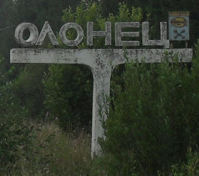
, 1 km from center (Олонец)
World / Russia / Karelia
city, district center


Town and the administrative center of Olonetsky District of the Republic of Karelia, Russia, located on the Olonka River to the east of Lake Ladoga. Olonets is located at the confluence of the Olonka and Megrega rivers, on the Olonets Plain, 140 km southwest of Petrozavodsk, 269 km northeast of St. Petersburg along the R 21 highway («Kola» highway).
Olonets is the oldest documented settlement in Karelia, mentioned by Novgorodian sources as early as 1137. Its history is obscure until 1649, when a fortress was built there to protect the Grand Duchy of Moscow against the Swedes. The same year it was granted town privileges. Until the Great Northern War, Olonets developed as a principal market for Russian trade with Sweden. To the south from the town, there sprawled a belt of fortified abbeys, of which the Alexander-Svirsky Monastery was the most important. In the 18th century, Olonets' importance shifted from trade to ironworking industries. In 1773, it was made the seat of Olonets Governorate. Eleven years later, however, the seat was moved to Petrozavodsk and Olonets started to decline. Modern Olonets is classified as a historical town of the Republic of Karelia and is the only town in the republic where Karelians are in majority (over 60% as of 2005).
Olonets is the oldest documented settlement in Karelia, mentioned by Novgorodian sources as early as 1137. Its history is obscure until 1649, when a fortress was built there to protect the Grand Duchy of Moscow against the Swedes. The same year it was granted town privileges. Until the Great Northern War, Olonets developed as a principal market for Russian trade with Sweden. To the south from the town, there sprawled a belt of fortified abbeys, of which the Alexander-Svirsky Monastery was the most important. In the 18th century, Olonets' importance shifted from trade to ironworking industries. In 1773, it was made the seat of Olonets Governorate. Eleven years later, however, the seat was moved to Petrozavodsk and Olonets started to decline. Modern Olonets is classified as a historical town of the Republic of Karelia and is the only town in the republic where Karelians are in majority (over 60% as of 2005).
Wikipedia article: http://en.wikipedia.org/wiki/Olonets
Nearby cities:
Coordinates: 60°58'16"N 32°58'24"E
- Petrozavodsk 121 km
- Saint Petersburg 210 km
- Espoo (City) 467 km
- Kangasala 490 km
- Tampere 511 km
- Ylöjärvi 529 km
- Alavus centre 536 km
- Arkhangelsk 562 km
- Sastamala 568 km
- Nizhny Novgorod 792 km
- Автозаправочная станция 0.3 km
- ул. Петроградских Курсантов, 11 0.3 km
- Kolosok Kindergarten 0.3 km
- Fire Station 0.5 km
- Grocery store 0.5 km
- Water tower 4.1 km
- Road bridge across Megrega river 4.3 km
- Sovkhoznaya ulitsa, 2 5.2 km
- Sovkhoznaya ulitsa, 1 5.2 km
- Sovkhoznaya ulitsa, 8 5.4 km