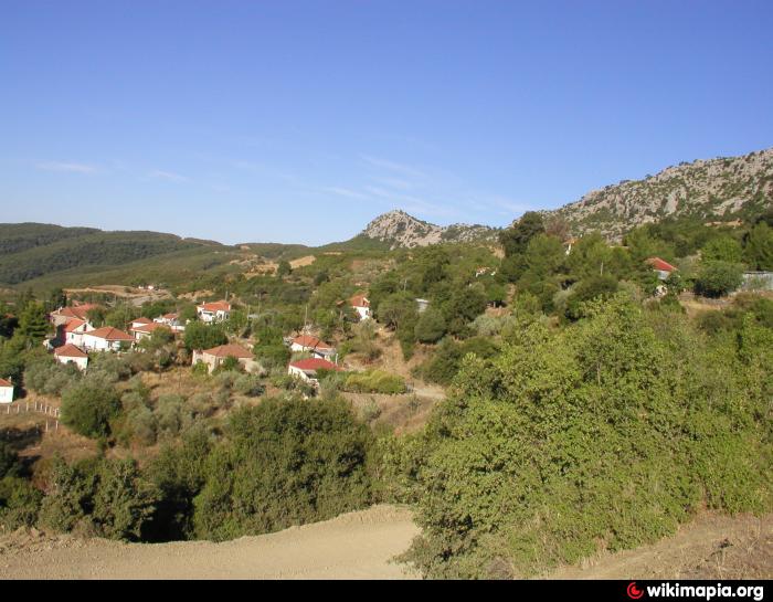
Alevrada Amfilochia's
Greece /
Aitolia kai Akarnania /
Spolaita /
World
/ Greece
/ Aitolia kai Akarnania
/ Spolaita
, 25 km from center (Σπολάιτα)
invisible, draw only border, department - administrative division
Municipal District Inahos of Kallikratous Municipality Amfilochia's
Wikipedia article: http://en.wikipedia.org/wiki/wikimapia)http://wikimapia.org/#lat=38.7026593&lon=21.2200928&z=9&l=0&m=b&v=8
Nearby cities:
Coordinates: 38°54'39"N 21°27'42"E
- Ambelaki Amfilochia's 26 km
- Tymfristos local community region. 36 km
- Peripheral unit of Evrytania 39 km
- Area St. George local community 41 km
- Amfilohia Municipality 44 km
- Mouzaki Municipality 67 km
- Peripheral unit of Arta 92 km
- Municipality of Larissians (Larissa) 112 km
- Peripheral unit of Trikala 114 km
- Peripheral unit of Larissa 147 km
- Pistiana 2.7 km
- Lakkes 2.8 km
- Hydroelectric power plant of Kremasta Dam (437.2 MW) 4 km
- Emergency spillway 4.2 km
- Kremasta (lake) 5.7 km
- Tatarna Monastery 6 km
- Kaipanaki 6.9 km
- Kastraki (lake) 13 km
- Episkopi bridge 13 km
- Peripheral unit of Aetolia-Acarnania 21 km