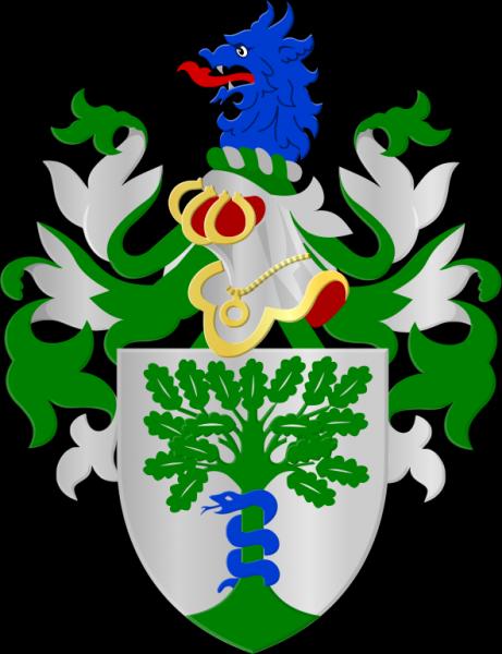
Koekelberg
| municipality, second-level administrative division
Belgium /
Brussel /
Brussels /
World
/ Belgium
/ Brussel
/ Brussels
municipality, second-level administrative division, draw only border
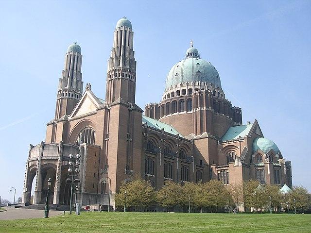

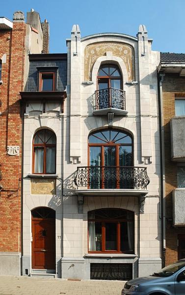


Koekelberg is one of the nineteen municipalities located in the Brussels-Capital Region of Belgium. On January 1, 2006 the municipality had a total population of 18,157. Located in the north-western part of the region, it is bordered by Berchem-Sainte-Agathe, Ganshoren, Jette and Molenbeek-Saint-Jean. In common with all of Brussels' municipalities, it is legally bilingual (French–Dutch).
The total area is 1.17 km² which gives a population density of 15,486 inhabitants per km².
The total area is 1.17 km² which gives a population density of 15,486 inhabitants per km².
Wikipedia article: http://en.wikipedia.org/wiki/Koekelberg
Nearby cities:
Coordinates: 50°51'44"N 4°19'20"E
- Beveren (Municipality) 56 km
- Antwerp (municipality) 58 km
- Geel 58 km
- Mol 71 km
- Zundert (municipality) 78 km
- Alphen-Chaam 83 km
- Steenbergen (municipality) 90 km
- Breda 90 km
- Tilburg 97 km
- Oirschot (Municipality) 98 km
- Fitness, badmington, squash 0.3 km
- Castle Karreveld 0.6 km
- Annie Cordytunnel 0.7 km
- Edmond Machtens Stadium 1.2 km
- De Bottelarij 1.2 km
- Parc Marie-José / Marie-José Park 1.3 km
- Parc Albert / Albertpark 1.3 km
- Place de la Duchesse de Brabant / Hertogin van Brabantsplaats 1.5 km
- Dépot de bus STIB / MIVB Busdepot 1.7 km
- Brussels-Capital Region 3.9 km