Henri-Chapelle
Belgium /
Luttich /
Limbourg /
World
/ Belgium
/ Luttich
/ Limbourg
World / Belgium / Wallonie / Liège / Verviers
village, draw only border

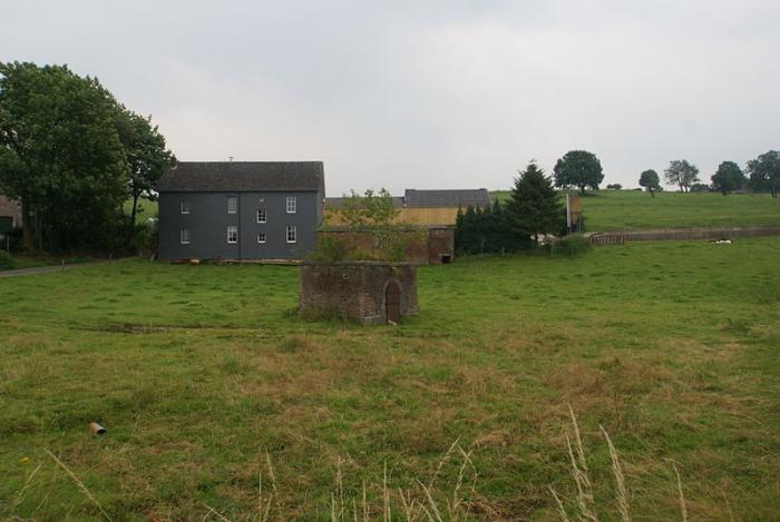
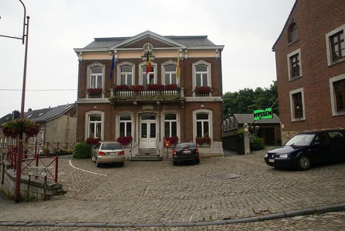


Henri-Chapelle (French; Walloon: Hinri-Tchapele, Dutch: Hendrik-Kapelle, Limburgish: Kapäl) is a section of the municipality of Welkenraedt in Liège province, Wallonia, Belgium. Just 300 metres (1,000 ft) west of the town, near the water tower, is the highest point in the Herve plateau, at 354 metres (1,161 ft) above sea level.
Henri-Chapelle was its own municipality until January 1, 1977 when it was merged with Welkenraedt as part of the fusion of the Belgian municipalities. Its postal code is 4841.
Henri-Chapelle was its own municipality until January 1, 1977 when it was merged with Welkenraedt as part of the fusion of the Belgian municipalities. Its postal code is 4841.
Wikipedia article: https://en.wikipedia.org/wiki/Henri-Chapelle
Nearby cities:
Coordinates: 50°39'46"N 5°55'32"E
- Membach 4.8 km
- Eupen 5.6 km
- Jalhay 7.9 km
- Sart-lez-Spa 14 km
- Theux 17 km
- Roetgen 18 km
- Spa 18 km
- Monschau 18 km
- Büllingen (municipality) 27 km
- Grandménil 41 km
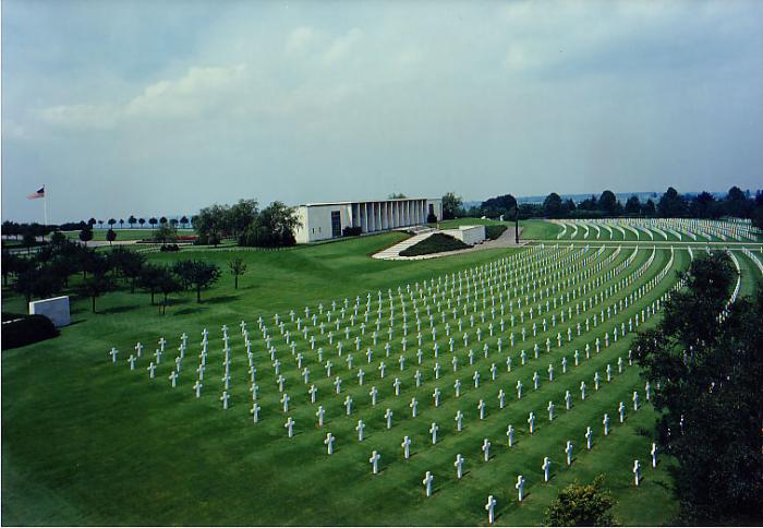
- Memorial 1st Infantry Division 1.5 km
- Hotel La Couronne 1.6 km
- Saint-Roch Church 2.8 km
- Potale Saint-Éloi 3.1 km
- Carrière Calcaire Lambrighs s.a. 3.6 km
- Intertrans 3.7 km
- ICM (Industrial Control Machines) 4.1 km
- Carrière 4.2 km